Hochkar summit hike

Hiking tour Starting from Hochkar, valley station

  • Difficulty: Moderate
  • Distance: 2,63 km
  • Duration: :hour h
  • Ascent: 331 m elevation gain
  • Descent: 10 m elevation gain

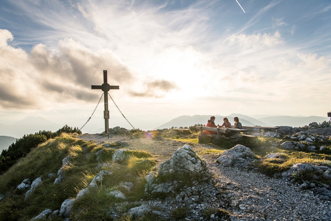
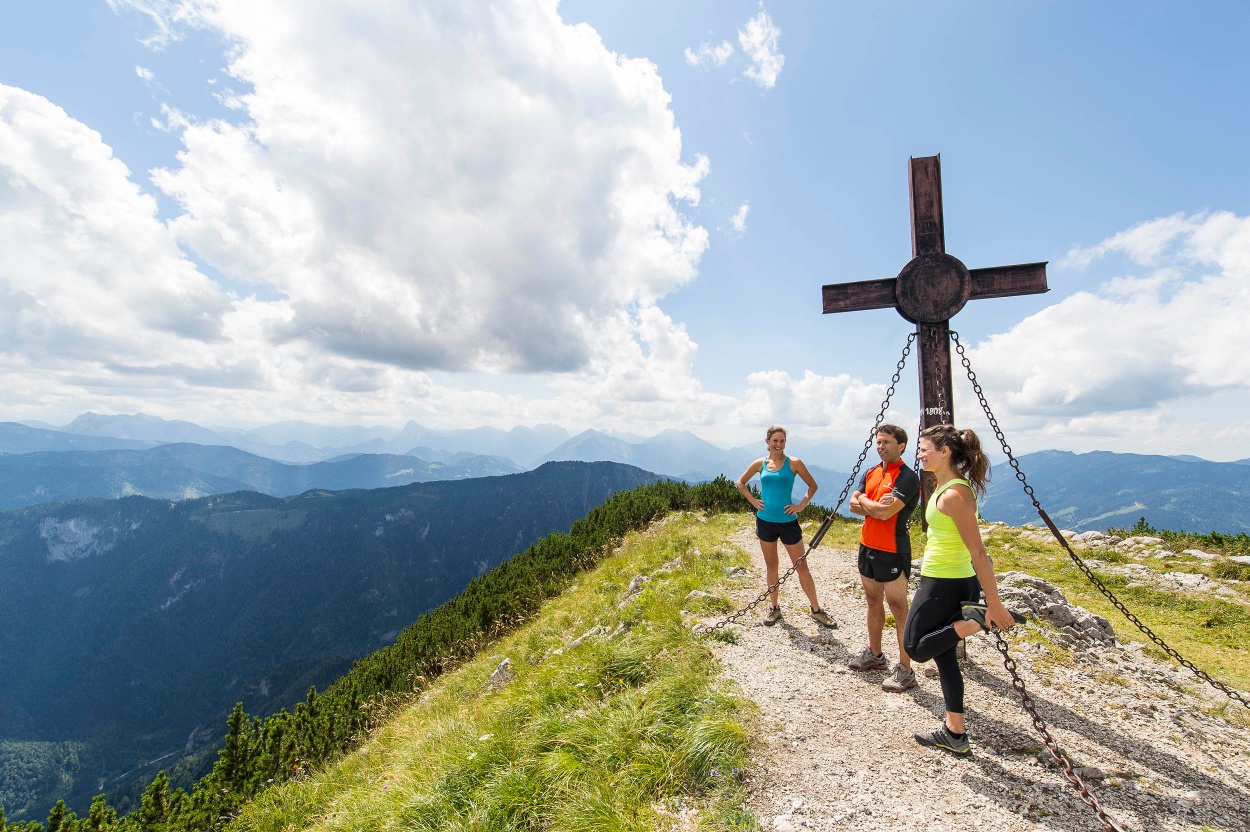
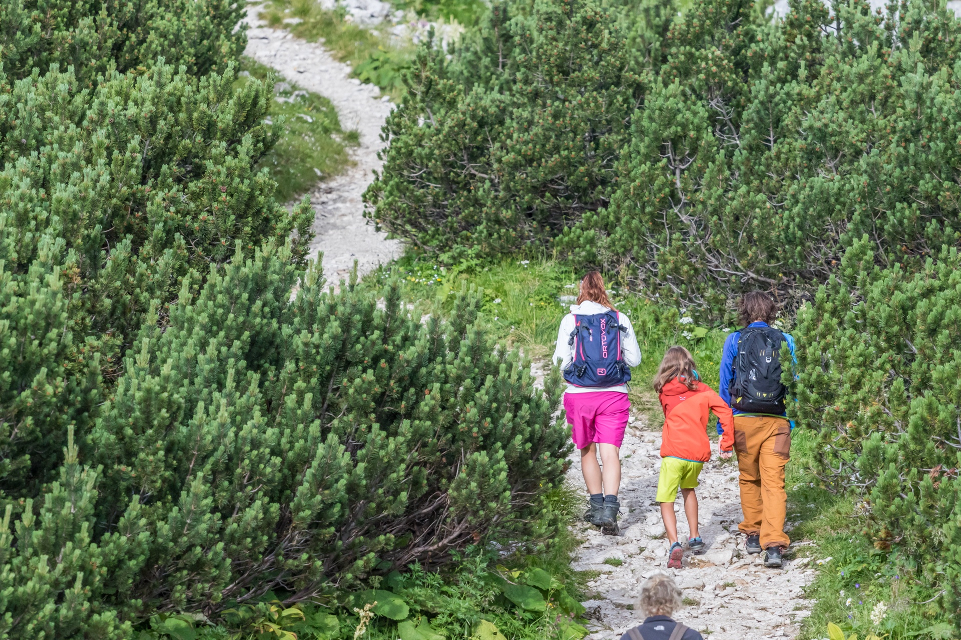
From the valley station to the Hochkar summit - panoramic view included.

Starting point of the tour
Hochkar, valley station
Tour destination
Hochkar, summit cross
  • Difficulty: Moderate
  • Distance: 2,63 km
  • Duration: :hour h
  • Ascent: 331 m elevation gain
  • Descent: 10 m elevation gain
  • Fitness level required:
    3/6
  • Overall experience:
    5/6
  • Scenery:
    5/6
  • Lowest point1476 m
  • Highest point1807 m
  • Nice views
  • With refreshment stops
  • Summit tour

Downloads

Description

Very beautiful, not too difficult summit route over lush alpine meadows, ski slopes, and varied hiking trails. With every meter of altitude, the view becomes more impressive.

Recommended period

J
F
M
A
M
J
J
A
S
O
N
D

Current weather on site

Today, 11.02.2026

3° to 7°

Today, 11.02.2026

Light rain shower

Wind speed1,7 km/h

Tomorrow, 12.02.2026

2° to 7°

Tomorrow, 12.02.2026

Light rain

Wind speed1,6 km/h