gpx_addressbase_15906
Today, 11.02.2026
Light rain shower
Wind speed2,8 km/h

Hiking tour Starting from Pilgrimage Basilica Maria Taferl
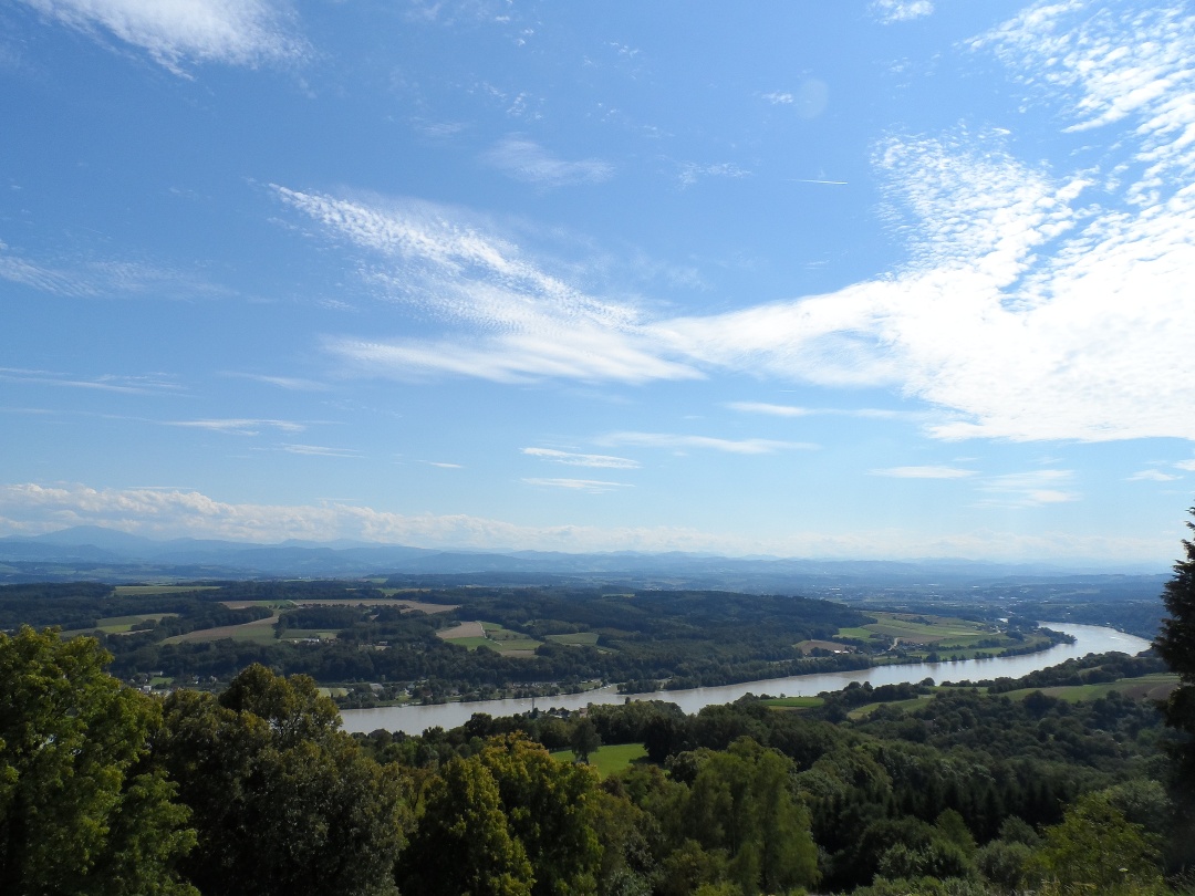


On the first stage of the Jakobsweg Mostviertel from Maria Taferl to Neustadtl an der Donau, the route initially leads through an idyllic chestnut forest (Bußweg), steeply downhill until we reach Marbach. From there, we walk along the Danube for a longer time. Only at the parish church in Gottsdorf do we leave the Danube bike path and cross-country to Persenbeug. A detour to Ybbs (on the opposite shore of the Danube) is highly worthwhile. Only then does the mountainous part of this stage begin, with a relatively continuous climb up to Neustadtl.
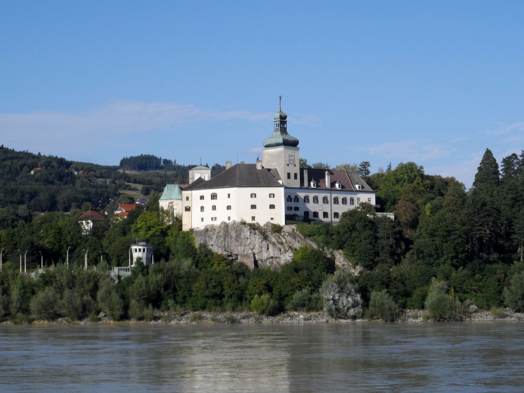
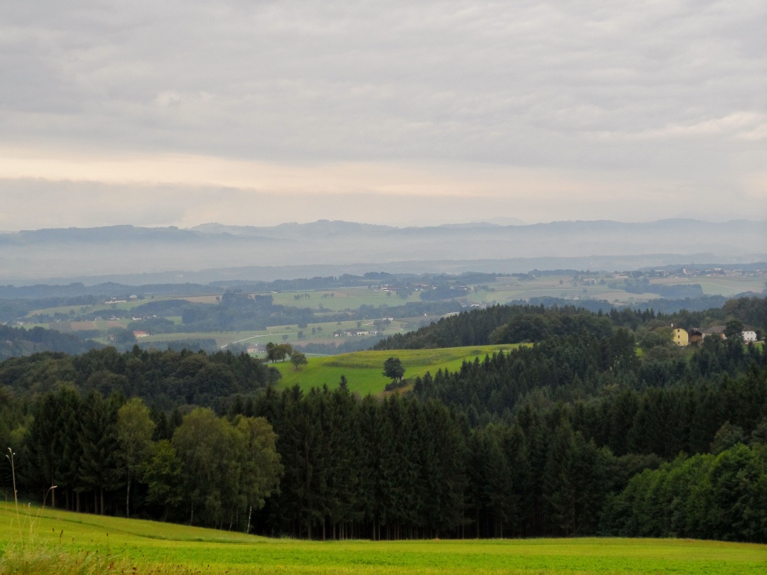
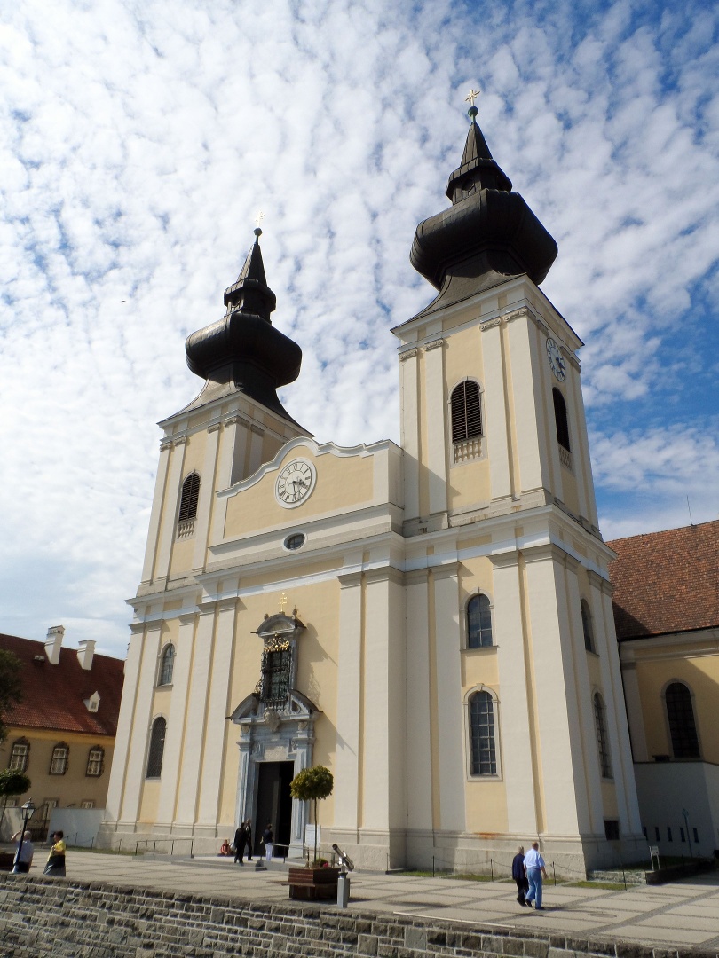
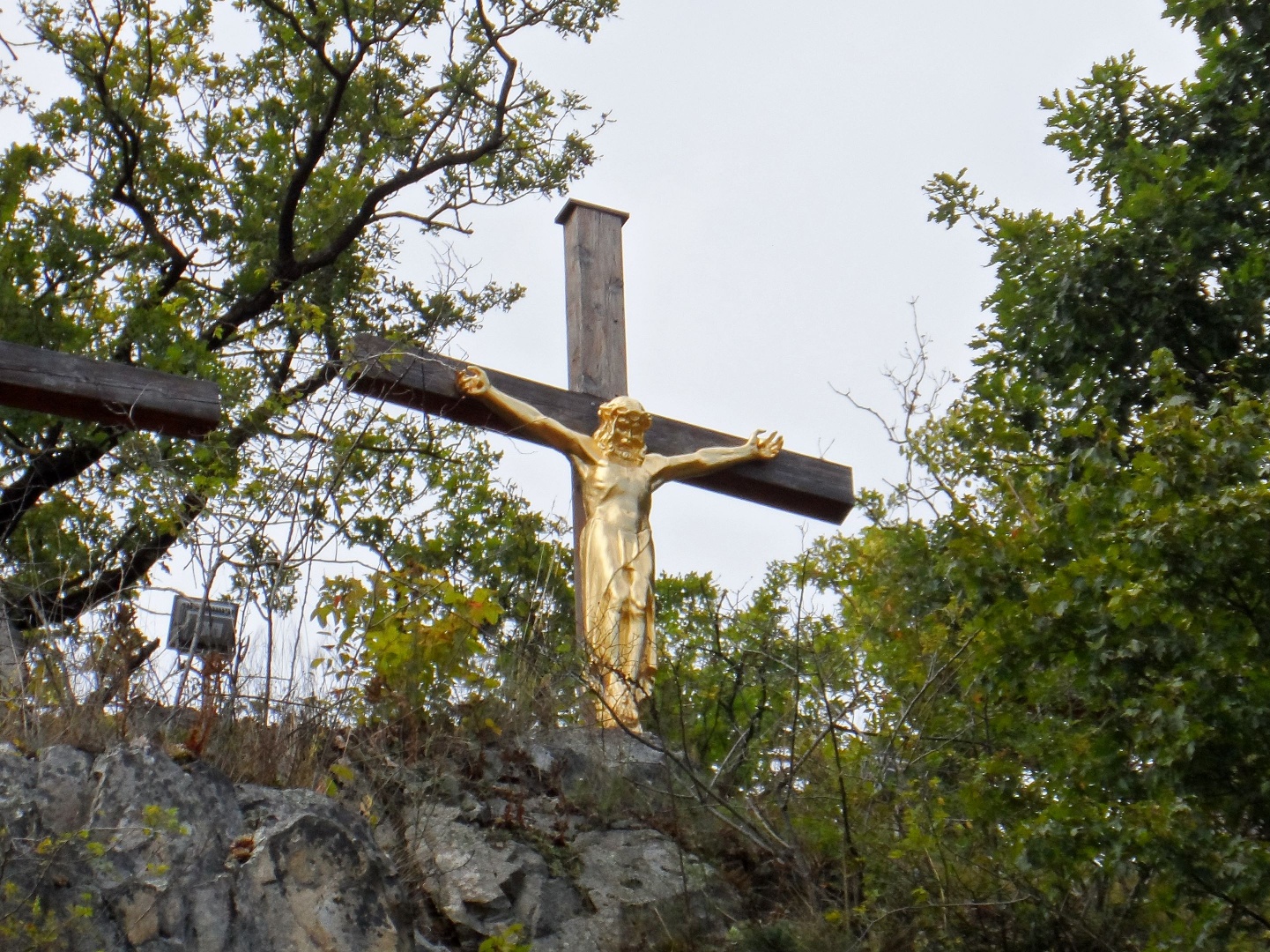
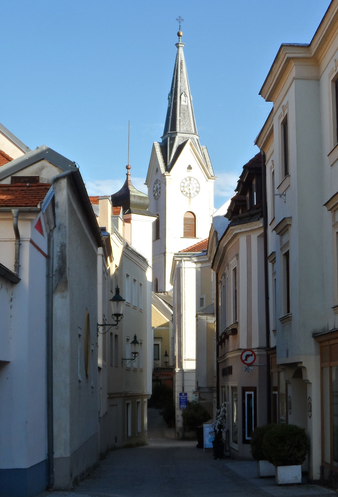
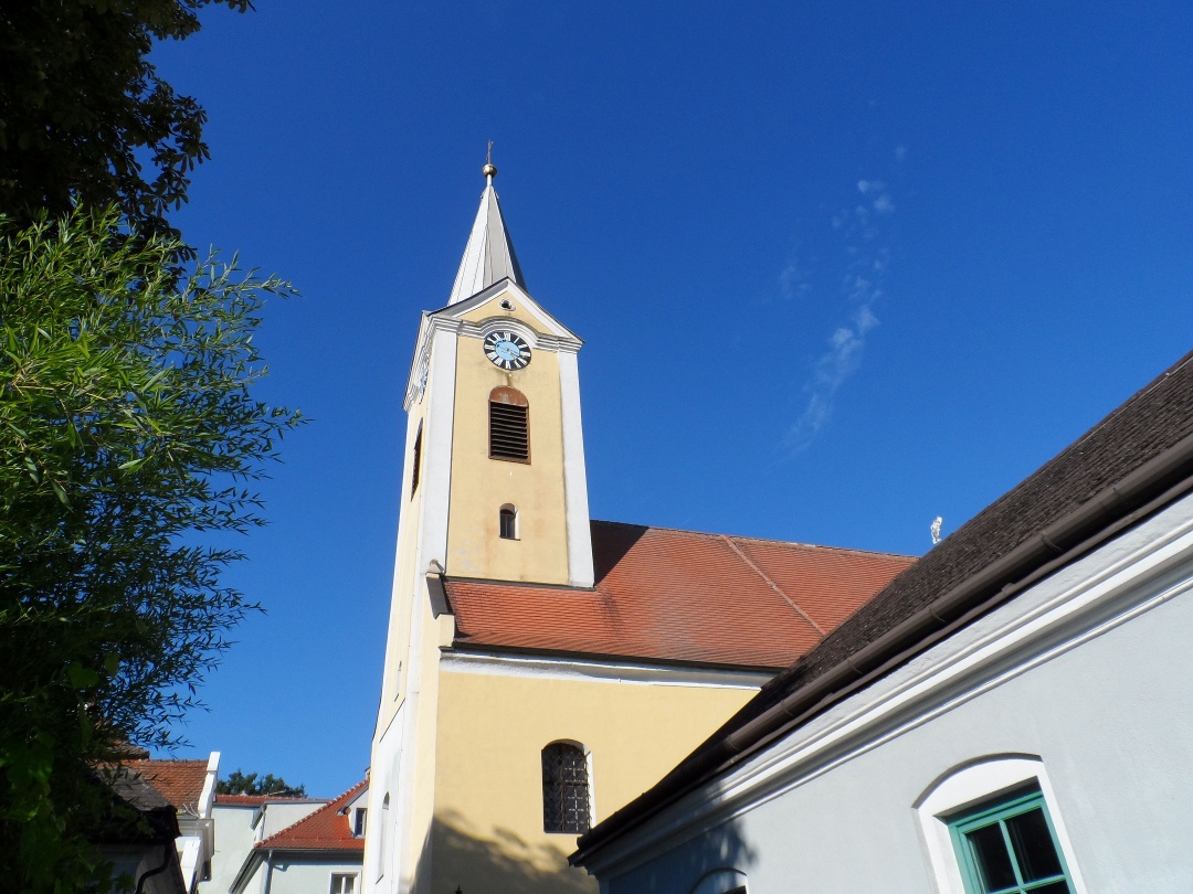
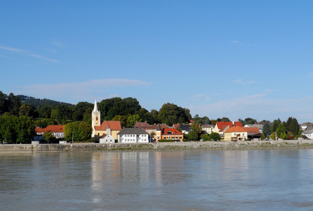
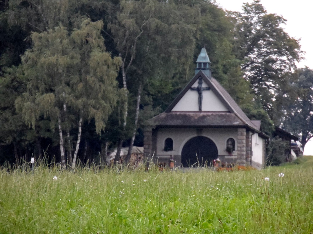
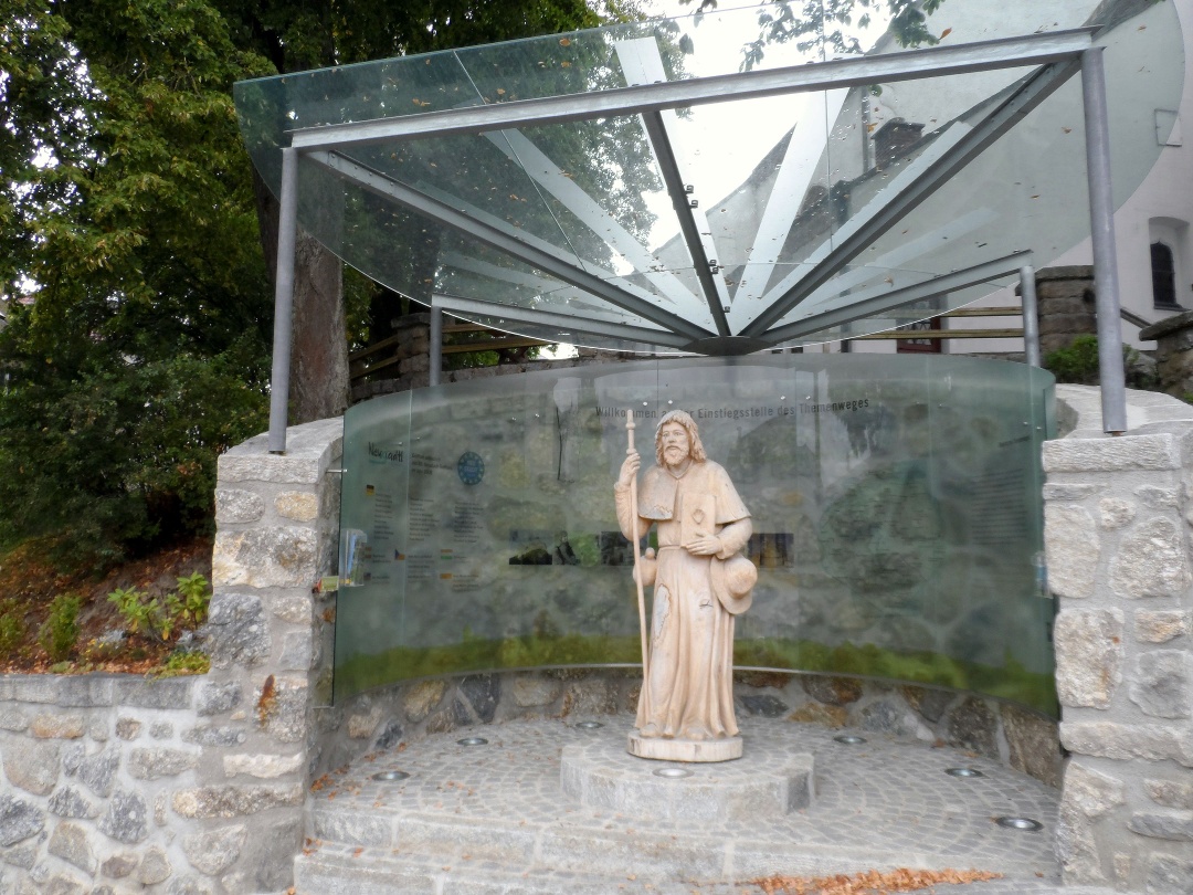
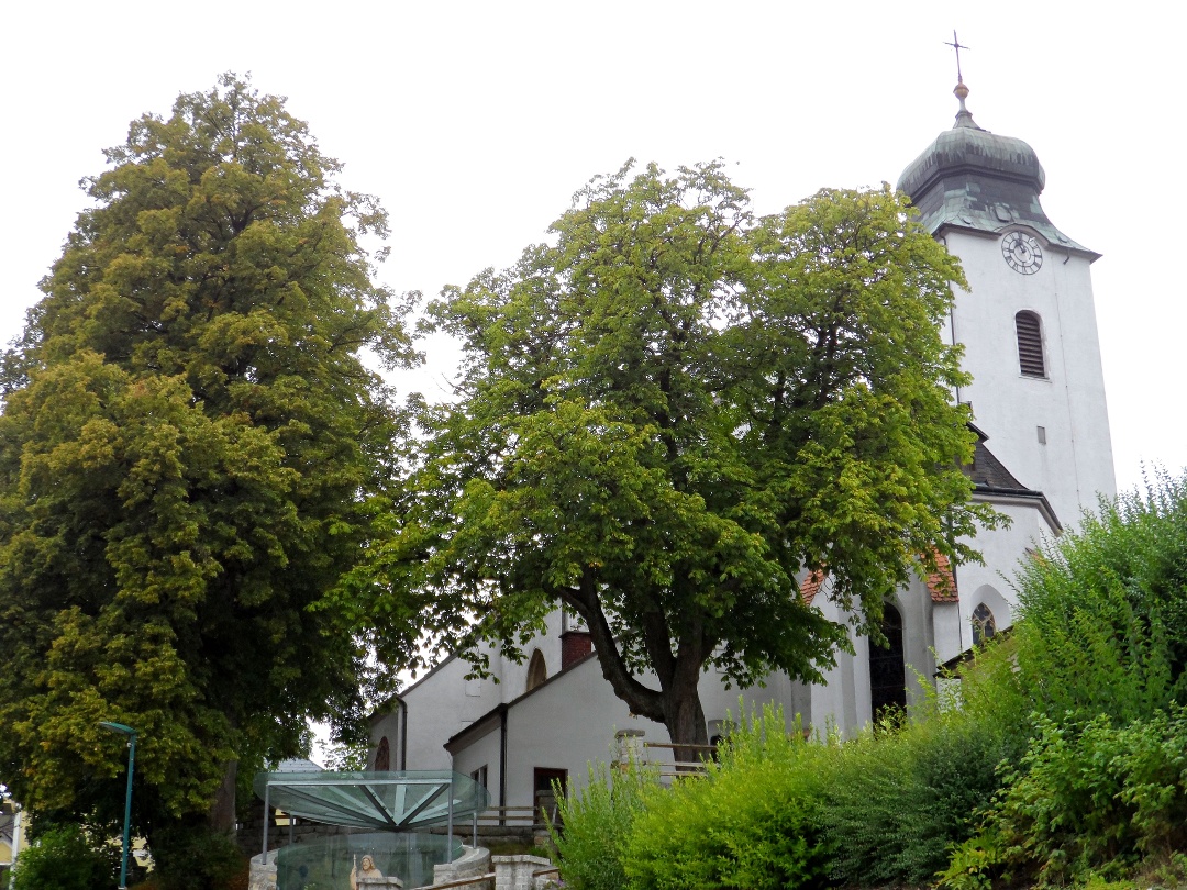
From Maria Taferl, the route goes downhill through beautiful deciduous forests to the shore of the Danube in Marbach. Upon reaching the town center, we make a detour to the baroque parish church of St. Martin, located at the foot of the Calvary hill, and then continue our path along the Danube shore. After some time, we see the Säusenstein Abbey on the left and already the parish church of St. Peter and Paul in Gottsdorf on the right. From Gottsdorf, the path leads past the cemetery over meadows and fields into the town center of Persenbeug. Here are the late Gothic Florian Chapel and Persenbeug Castle, a multi-winged building situated on a high rock with a west-facing chapel. If you want and still have energy, you can visit the town municipality of Ybbs on the opposite side of the Danube, which houses among others the parish church of St. Lorenz, built in 1521, in its pretty town center. Now begins the "mountain stage" of this pilgrimage route with the ascent towards Marienhöhe, covering about 300 meters of elevation initially mostly on forest paths, later over meadows and fields, until reaching the highest point of this stage, the Hengstberg. From Hengstberg, the route proceeds via the Lueger Chapel to Berghof and over the hills of the Mostviertel to the town of Neustadtl an der Donau, located on a high plateau of the Bohemian Massif. In Neustadtl, there is a special thematic trail for the pilgrims of the Jakobsweg ("The way is the goal...Pilgrimage on the Jakobsweg in Neustadtl"), which provides information about pilgrimage with 13 different stations. The starting point for this thematic trail is the Jakob church in Neustadtl, a simple late Gothic hall church from the beginning of the 16th century.

Light rain shower
Wind speed2,8 km/h
Light rain shower
Wind speed1,8 km/h
Mostviertel Tourismus GmbH
Töpperschloss Neubruck, Neubruck 2/10, 3283 Scheibbs
T +43/7482/20 444
info@mostviertel.at , www.mostviertel.at
Upper Austria Tourism Information
Freistädter Straße 119, 4041 Linz
info@oberoesterreich.at
www.wandern.at
Useful maps:
ÖK 4322 Pöchlarn, ÖK 4327 Amstetten, ÖK 4328 Scheibbs,
ÖK 4203 Waidhofen, ÖK 4204 Lunz
All at 1:50,000 scale (also available enlarged at 1:25,000)
F&B Hiking Maps 052 Mostviertel (1:50,000),
Kompass Hiking Guide 1085 Jakobsweg
Important phone numbers:
Alpine emergency call: 140, International emergency call: 112
Recommended literature:
Jakobsweg Austria Hiking Guide, www.kompass.at
On the Jakobsweg through Austria, www.tyrolia-verlag.at
Pilgrimage paths, www.kral-verlag.at
Pilgrimage routes to Mariazell – volumes West + South, www.styriabooks.at