gpx_addressbase_29063
Today, 11.02.2026
Light rain shower
Wind speed1,8 km/h

Tour Starting from Tirolerkogel parking lot near Annaberg
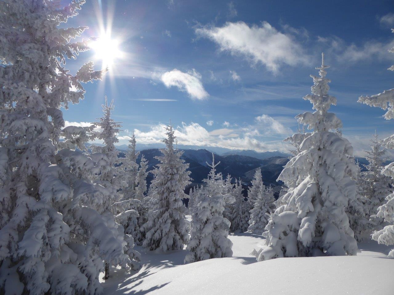
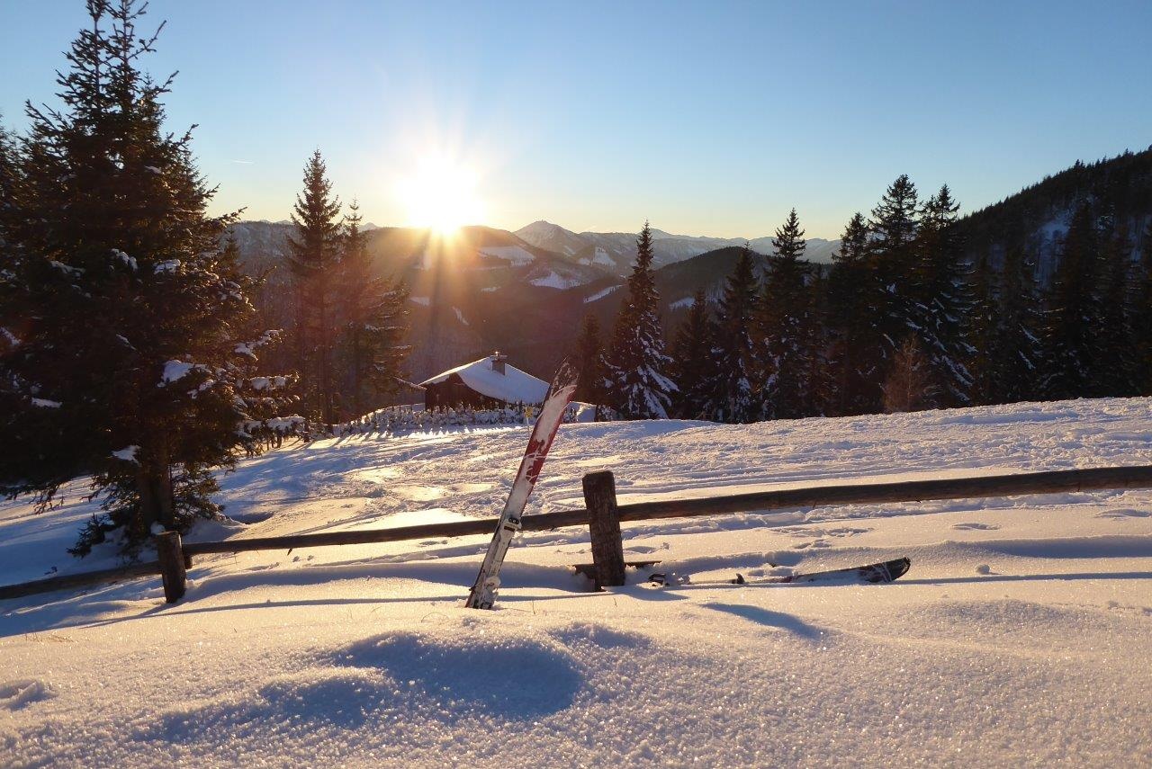
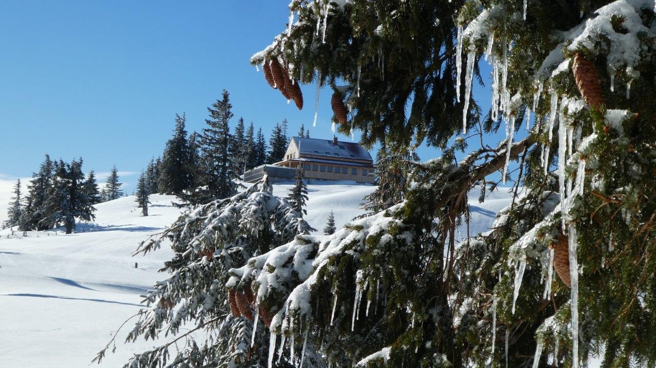
Route on Annaberg's local mountain with a magnificent mountain panorama.
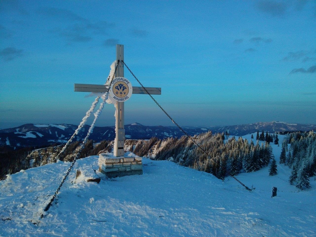
The pre-Alpine route Annaberg - Tirolerkogel is considered a moderately difficult, varied, and very scenic hike, also well suited for families. From the highest point of Tirolerkogel (1,377 m), hikers enjoy a magnificent panoramic view of Ötscher, Dürrenstein and Gemeindealpe, Gippel, Göller, Schneeberg, and the Hochschwab group.
Snowshoers, ski tourers, and tobogganers have also discovered the route for themselves.
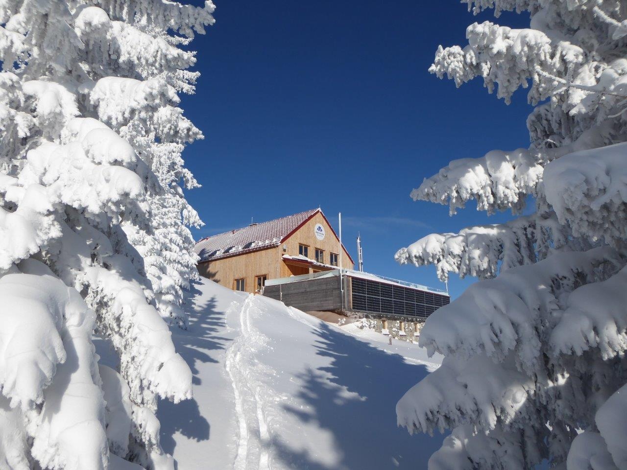
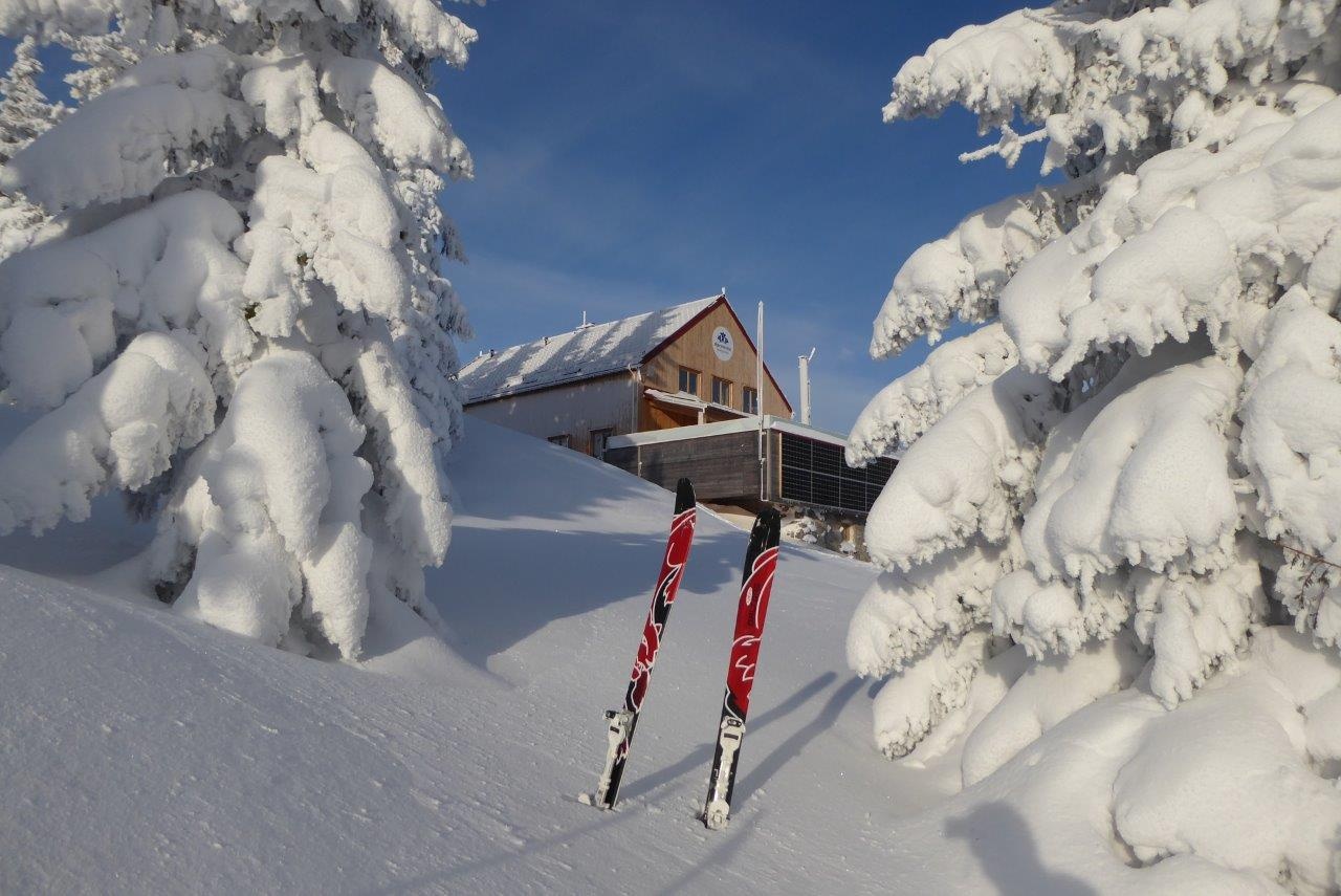
The Annaberger House rewards hikers with refreshments. The shelter is open year-round, closed on Mon. and Tue.
Sleds can also be rented at the Annaberger House - advance reservation is recommended (T +43 2728 20459)!

Light rain shower
Wind speed1,8 km/h
Light rain shower
Wind speed1,3 km/h