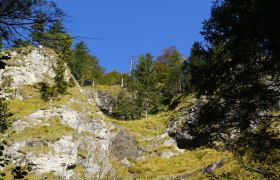
Details for: Hochmoorloipe
Brief description
In about 900m above sea level between Hochkar and Dürrenstein, located in the nature conservation area, the track provides a fabulous winter experience
Description
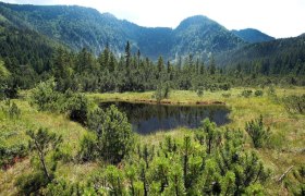
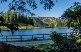
The Hochmoorloipe (loop) near Göstling an der Ybbs leads around the nature conservation area Leckermoos in a very sheltered and quiet surrounding.
The trail is suitable for beginners.
Length: 2 km
Condition: 1-2
Technique: classical
Experience value: 4-5
Area: 4-5
Starting point of the tour
Parking Hochmoor
Destination point of the tour
Parking Hochmoor
Route description Hochmoorloipe
Parking Hochmoor- the track is around the nature conservation area Leckermoos
Directions
A1 exit Ybbs – B25 to Göstling /Ybbs
A1 exit Amstetten – B121 and B 31 to Göstling /Ybbs
6km small and step (15%) road to Hochreit
Parking
Parking Hochmoor
Bahnhof (train station) Scheibbs or Waidhofen / Ybbs , Bus connection to Göstling/Ybbs
Author's tip
Werfen Sie auch im Winter einen Blick auf die 11 Erlebnisstationen entlang des Hochmoors.
