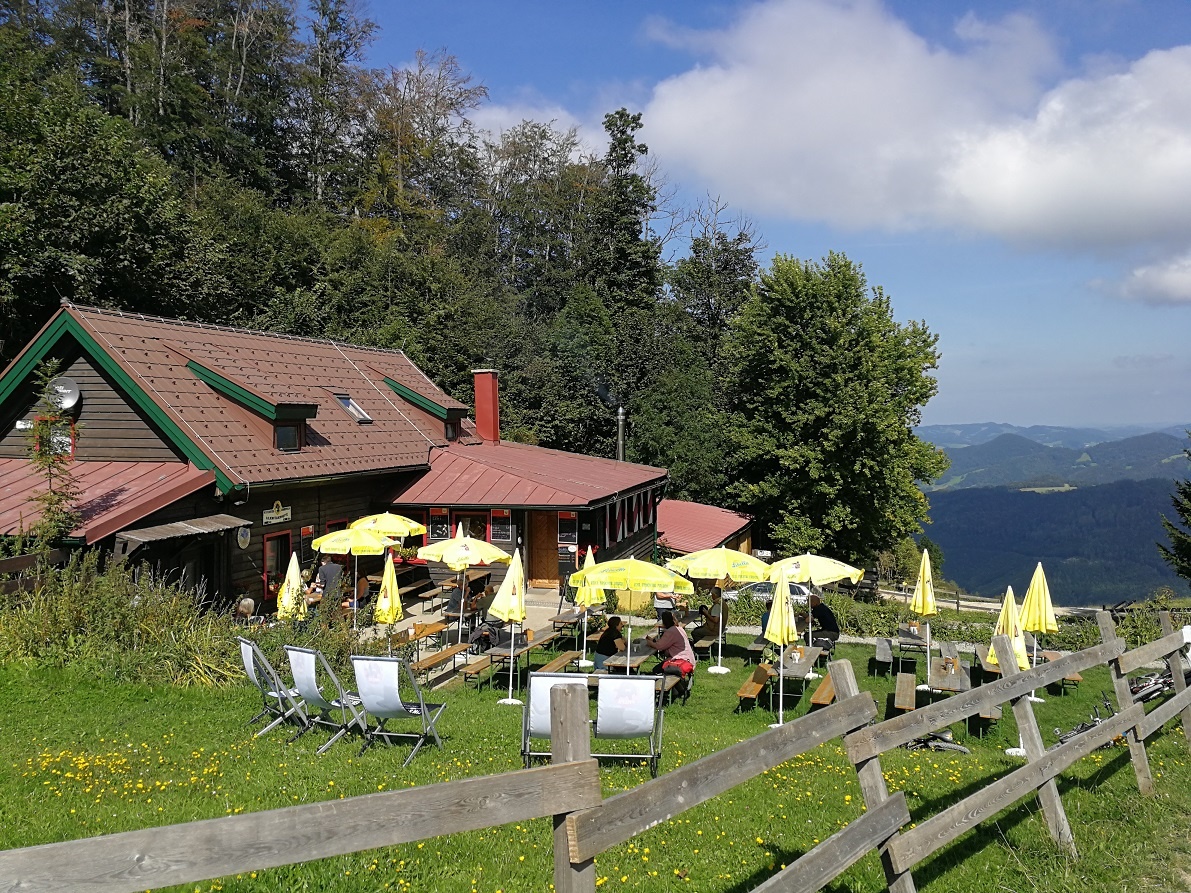
The Jägersteig trail begins at the Lindenbrunntal Bridge/Fallgrabenweg (lift parking lot) and leads through the Jägersteig Forest to the lower Glatzwiese, where the ski trail joins it, and finally to the lower Karlstein (where the Jägersteig ends). At this point, the trail splits:
a) the marked ski trail to the upper Kolmsutte, or
b) the Gschwendtweg to the upper Karlstein/Felskanzel. Here you can enjoy the magnificent view known as “Luginsland.” From here, the trail continues to the Lilienfelder Hütte/Gschwendt (956 m). It is open year-round and owned by the Austrian Alpine Club. Connect to the Mathias Zdarsky Circular Hiking Trail 63 or take the green-marked trail through the Steinhofberg Forest downhill to the Freiland train station.
Lindenbrunntal Bridge / Fallgrabenweg (Lift Parking Lot)
A1, St. Pölten Süd exit—turn right toward Mariazell until you reach Lilienfeld—in Lilienfeld, turn left after the abbey, then left again—continue straight ahead—Lilienbrunntal Bridge
Leider können wir Ihnen zum jetzigen Zeitpunkt keine Wetterdaten für den Ort anzeigen.
Lilienfeld Tourist Office
3180 Lilienfeld, P.O. Box 1
Tel. 02762/522 12
Fax: 02762/522 12 16
gemeinde@lilienfeld.atgemeinde@lilienfeld.at
www.lilienfeld.at
Letzte Änderung: 3 Aug 2026