Hiking tour Starting from Behamberg, hiking routes starting point opposite the church square
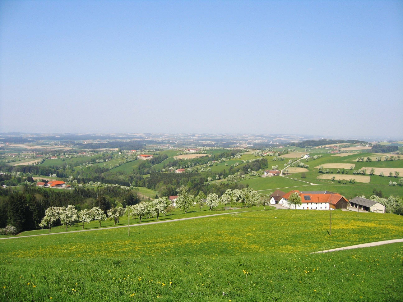
The hike leads from Behamberg via the Daxberg Panorama Trail to a particularly rewarding vantage point. Wonderful views of the Mostviertel hills!
The hike leads from Behamberg via the Daxberg Panorama Trail to a particularly rewarding vantage point. Wonderful views of the Mostviertel hills!
As an extension to the Daxberg Panorama Trail, this hiking trail leads past the "Mostviertel View" vantage point, which really lives up to its name when the views are good.
No special equipment necessary
From the starting point, the path leads up to the Daxberg; those who wish to circle it follow the Daxberg Panorama Path, otherwise the path turns left through the forest before the Hubertus Chapel and leads to the 'Mostviertel View' viewpoint. At the rest area, the rural youth have framed the panorama in a wooden frame that can be used as a photo spot. From the rest area, the path leads over a field track to the Oberbadhofer estate, past it further east you reach an asphalted farm road again. Along the farm road, the path leads to the Hafner Cross and back into the village. For those who want more, the circular route can be extended via the village round to the forest educational trail.
Ample parking is available in the town center.
Via federal highways 122 or 42 (15 km distance to the Haag motorway entrance).
Public bus service to Behamberg
Easy circular route with a magnificent viewpoint. Culinary delights await in the inn in the center of Behamberg with a wonderful view from the beer garden.
Leider können wir Ihnen zum jetzigen Zeitpunkt keine Wetterdaten für den Ort anzeigen.