
Hiking tour Starting from Haag Open-Air Museum (official); visitors may enter at any point

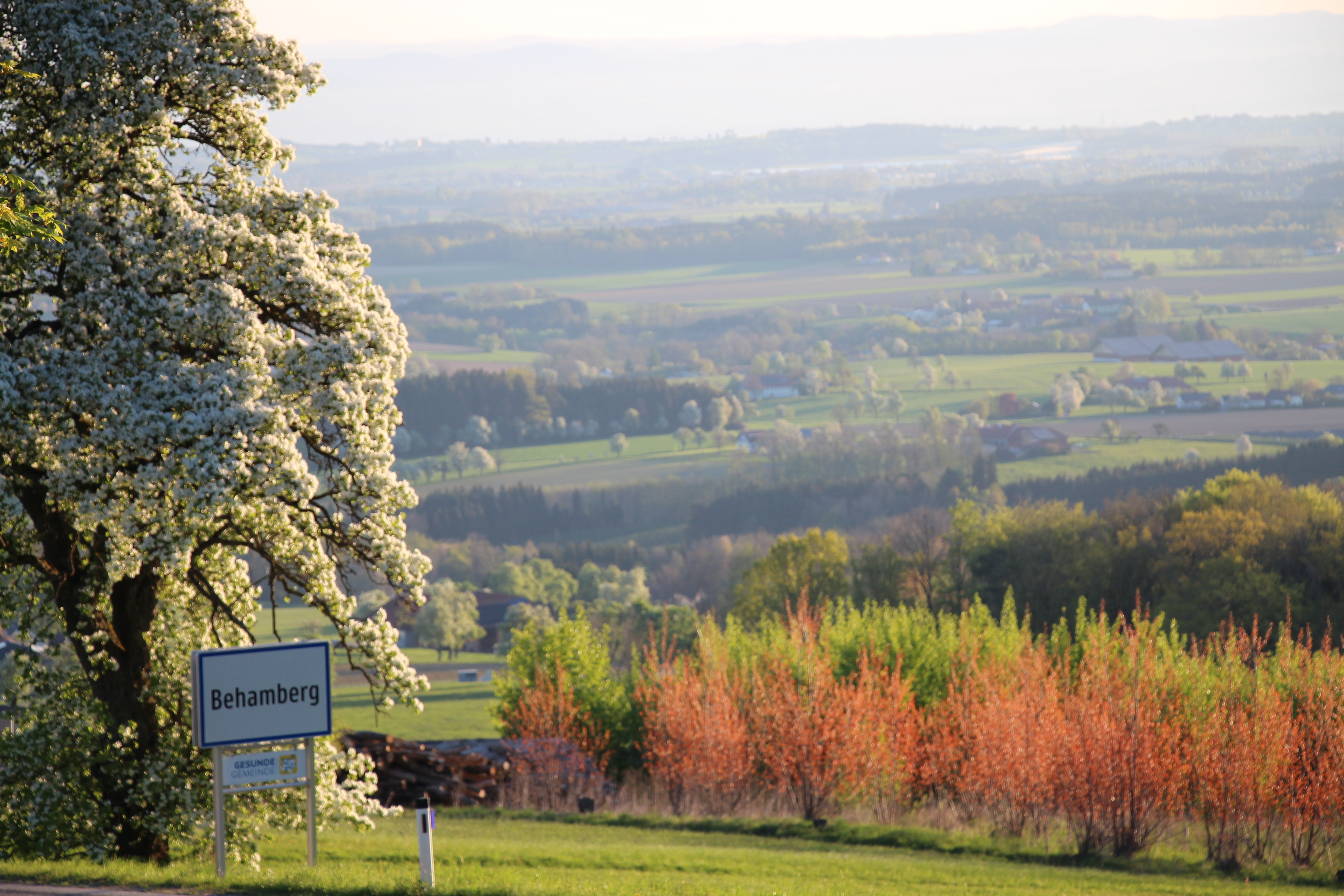
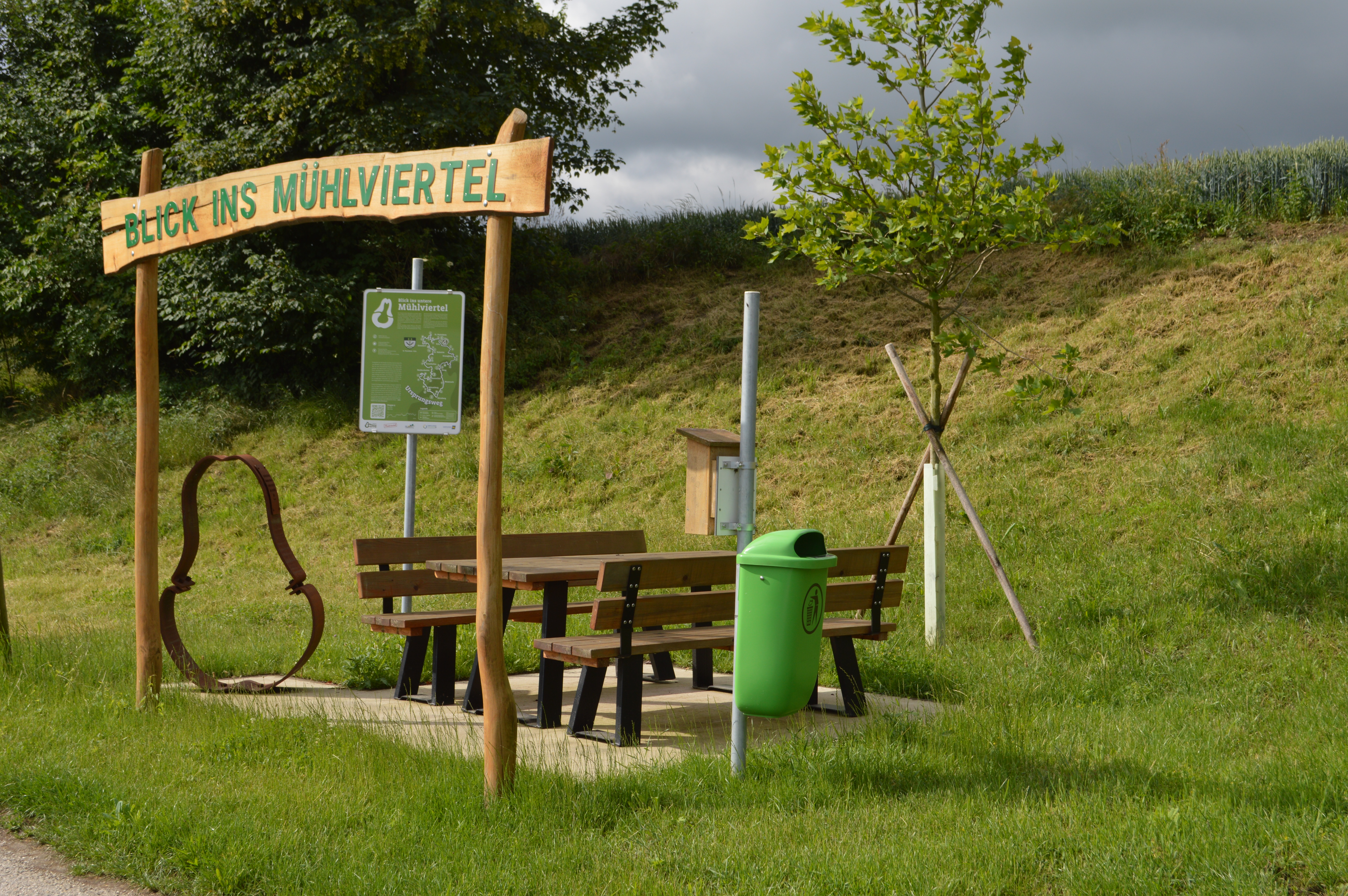
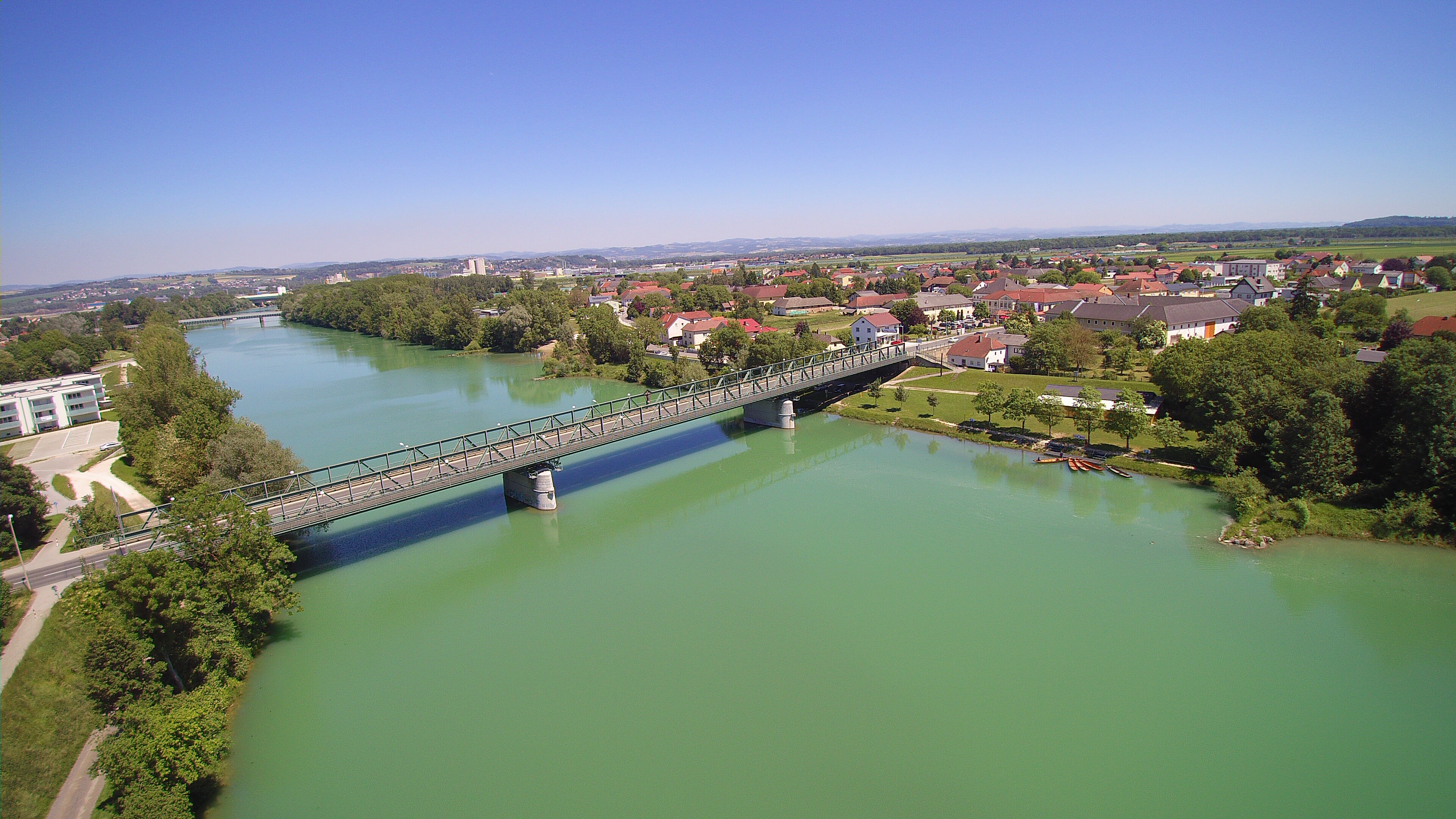
The Mostviertel Ursprungsweg is a 116-kilometer circular hiking trail that winds through the Mostviertel Ursprung micro-region in five stages. The route connects the municipalities of Behamberg, Haidershofen, Ernsthofen, St. Valentin, Ennsdorf, St. Pantaleon-Erla, Strengberg, St. Peter, and Weistrach. Hikers experience a varied landscape ranging from the pre-Alpine hills to the flat Danube Valley, passing through meadows, forests, rivers, lakes, traditional square-shaped farmsteads, and blossoming pear trees. Thirteen lovingly designed stamp stations and over 80 highlights—including places of spiritual power, pilgrimage sites, idyllic spots, and cultural attractions—make the trail a special experience. The Ursprungsweg is suitable for hikers and cyclists, with only a few short stretches where you’ll need to push your bike. With route lengths ranging from 18.6 to 28.2 km, there’s something for every hiker. Experience a diverse landscape of authentic culture and unspoiled nature—every step is a new adventure!
A normal level of sure-footedness is required. Weather-appropriate clothing and sturdy shoes are recommended. If cycling, be prepared for short stretches where you’ll need to push your bike.
Hiking gear, weatherproof clothing, plenty of water, hiking poles (if desired), bicycle (if cycling), and a stamp booklet available at the municipal office.
Stage 1: Haag – Weistrach – Kürnberg - Length: approx. 24.2 km - Elevation gain: approx. 480 m / Elevation loss: approx. 340 m -
Stamp stations: Haag, Weistrach, Kürnberg
From the Haag Open-Air Museum, the trail leads through the town center and continues toward Weistrach—via dirt paths, small roads, and through the gently rolling hills, it passes orchard meadows and farms on the way to Rohrbach - From there, the route continues through wooded areas and over scenic ridges to the center of Kürnberg
Stage 2: Kürnberg – Behamberg – Vestenthal - Length: approx. 22.6 km - Elevation gain: approx. 380 m up / 500 m down -
Stamp stations: Kürnberg, Behamberg, Vestenthal
From Kürnberg, the trail leads through the rolling countryside with meadows, forests, and orchard meadows toward Behamberg. It then continues through open countryside, small settlements, and quiet wooded areas to Vestenthal
Stage 3: Vestenthal – Ernsthofen – St. Valentin - Length: approx. 21.4 km - Elevation gain: approx. 220 m up / 320 m down -
Stamp stations: Vestenthal, Ernsthofen, St. Valentin
From Vestenthal, you’ll hike along quiet side roads and dirt paths through the rolling hills to Ernsthofen. From there, the route leads through the Enns Valley, past fields, meadows, and small villages, to the center of St. Valentin near the train station
Stage 4: St. Valentin – Ennsdorf – St. Pantaleon-Erla - Length: approx. 18.6 km - Elevation gain: approx. 80 m up / 120 m down -
Stamp stations: St. Valentin, Ennsdorf, St. Pantaleon-Erla
From the St. Valentin train station, the route follows walking and biking trails through the town and on to Ennsdorf. The trail then leads through the flat Danube Valley, past fields, meadows, and settlements, to St. Pantaleon-Erla. Stage 5: St. Pantaleon-Erla – Strengberg – Haag - Length: approx. 29.2 km - Elevation gain: approx. 440 m up / 410 m down - Stamp stations: St. Pantaleon-Erla, Strengberg, Haag - From St. Pantaleon-Erla, the route leads through the Danube Valley and climbs gently into the hilly countryside toward Strengberg - The route continues through open countryside with fields, meadows, square-shaped farmsteads, and small villages back to the Haag Open-Air Museum, where the loop comes full circle.
Bring your stamp book and collect stamps at all 13 stations—a great souvenir for kids and adults alike!
Leider können wir Ihnen zum jetzigen Zeitpunkt keine Wetterdaten für den Ort anzeigen.