Hiking tour Starting from Opponitz former station
From the fishing village of Opponitz to the Hochseeberg, to the Amstettnerhütte and over the Hirschenkogel down to Oberland
From the fishing village of Opponitz to the Hochseeberg, to the Amstettnerhütte and over the Hirschenkogel down to Oberland
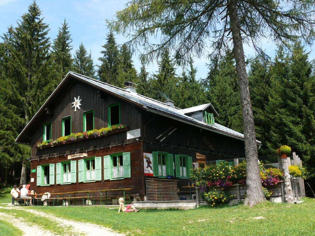
From the Opponitz bus station, the trail leads uphill via the Kreuzweg and Rudi Käferweg. Follow the red-white-red marker 58 in the direction of Obermitterkogel. Then hike towards Hochseeberg following the red-white-red marker 08. In Hochseeberg, continue to the serviced Amstettner huts (trail no. 24). From there, walk up to the Hirschenkogel - the trail is marked throughout. After the summit cross, walk along the forest roads through the disused part of the ski area and the last stretch along the road to Oberland - alternatively via the ski slopes.
sturdy footwear
provisions
sun and rain protection
small change
first aid
Parking at Ybbstalradweg in Opponitz or parking at Oberland station
B31 to Opponitz, B121 from Oberland
ÖBB/Rudolfsbahn to Waidhofen, VOR bus line to Opponitz or ÖBB from Oberland
Detour to the Wetterkogel between Hochseeberg and Amstettner Hut.
Leider können wir Ihnen zum jetzigen Zeitpunkt keine Wetterdaten für den Ort anzeigen.
Ybbstaler Alps Tourism Association
Göstling 46/2
3345 Göstling/Ybbs
43-5-93049
Letzte Änderung: 4 Aug 2026