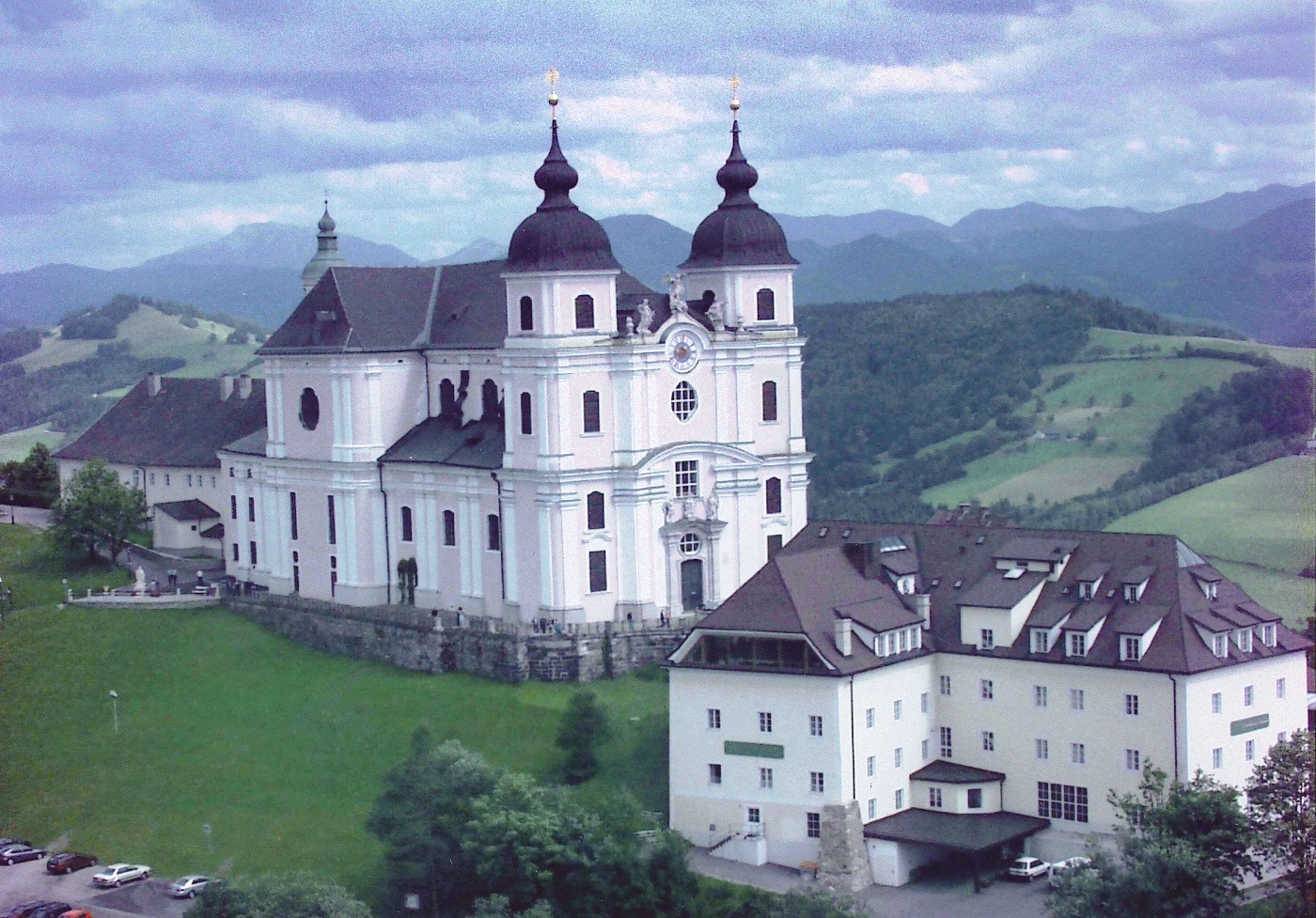
Hiking tour Starting from Mostviertel Mountain Road
Panoramic hiking tour on the Sonntagberg ridge with magnificent views of the "wild" and "mild" Mostviertel region
Panoramic hiking tour on the Sonntagberg ridge with magnificent views of the "wild" and "mild" Mostviertel region
The hike leads slightly uphill on an asphalt driveway past a private house and joins a road that leads through a deciduous forest to the hill. The highest point is reached after just a few hundred meters. In the shade of old beech trees, the hiking trail leads along the old road to a wonderful vantage point, where there is a picnic area. A panoramic view spreads out in front of the hiker, starting in the south-east with the Ötscher and continuing westwards to the Dürrenstein, Hochkar and the Ennstal Alps. The path leads almost flat along the hill out onto lush meadows and gradually winds its way slightly downhill towards the wayside shrine at the junction with the Mostviertler Höhenstraße. The route now takes a sharp right along the Panoramahöhenweg / Mostviertler Höhenstraße back to the starting point.
Standard hiking gear; lightweight shoes are sufficient
on the side of the road before and after the wooden signpost
A1 West Highway, take the Amstetten West exit onto the B 121 to Rosenau, turn left toward Sonntagberg, and continue on the Mostviertler Höhenstraße
Binoculars are recommended when visibility is good
Leider können wir Ihnen zum jetzigen Zeitpunkt keine Wetterdaten für den Ort anzeigen.
Stop for refreshments before the tour at GH Lagler on the Sonntagberg, followed by a snack at the Bogner/Wagenöd family’s Tavern, and a tour of the Klangturm
Letzte Änderung: 3 Aug 2026