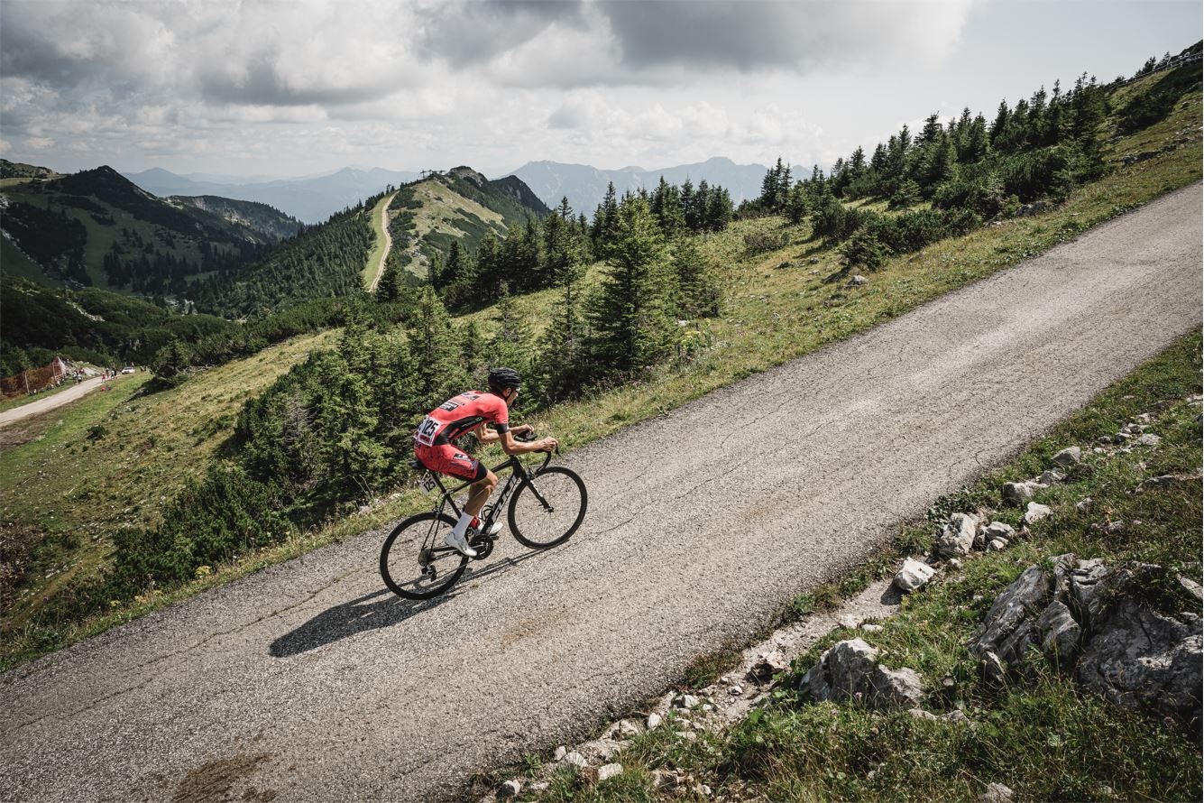
Radberg Hochkar

Cycling tour Starting from Göstling-Lassing, former toll station

  • Difficulty: Difficult
  • Distance: 11,08 km
  • Duration: 1:30 h
  • Ascent: 1070 m elevation gain
  • Descent: 1 m elevation gain
null
  • Difficulty: Difficult
  • Distance: 11,08 km
  • Duration: 1:30 h
  • Ascent: 1070 m elevation gain
  • Descent: 1 m elevation gain
  • Fitness level required:6/6
  • Overall experience:6/6
  • Scenery:5/6
  • Technical difficulty:2/6
Lowest point
682 m
Highest point
1752 m
  • Nice views
  • With refreshment stops
  • Summit tour

Downloads

Recommended period

J
F
M
A
M
J
J
A
S
O
N
D