Easy walk, suitable for baby carriages
Easy walk, suitable for baby carriages
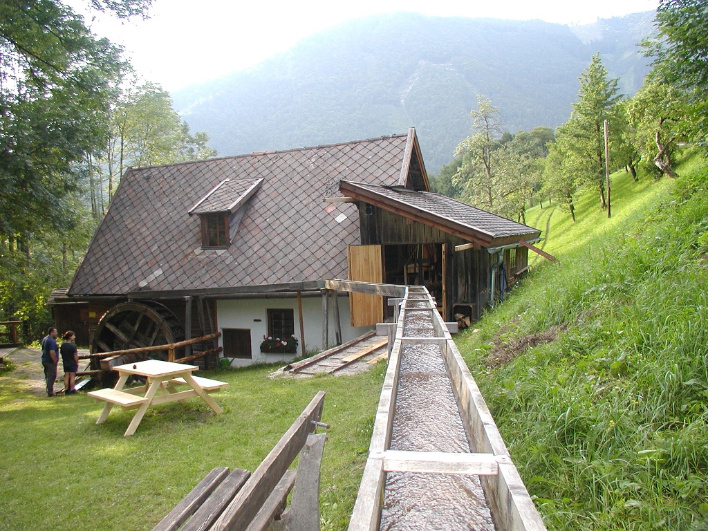
From the municipal parking lot via the village square on the footpath to the church past the old vicarage via the Thomasberg goods road to the Gugermühle. From here, a cart path continues to the Unterkirner farmhouse. The trail leads along the B31 past Lettenwag and the lido back to the municipal parking lot.
Municipal Parking Lot
Coming from Vienna, take the A1 to the Amstetten West exit, then take the B121 to Waidhofen an der Ybbs; from there, continue on the B31 to Hollenstein an der Ybbs.
Coming from the west, take the A1 to the Oed exit, then head through Aschbach Markt onto the B121, follow the B121 to Waidhofen an der Ybbs, and from there continue on the B31 to Hollenstein an der Ybbs.
VOR Bus Route to Hollenstein
Swimming at one of the most beautiful river beaches on the Ybbs
Leider können wir Ihnen zum jetzigen Zeitpunkt keine Wetterdaten für den Ort anzeigen.
Ybbstal Alps Tourist Office
Göstling 46/2, 3345 Göstling/Ybbs
info@ybbstaler-alpen.at
Letzte Änderung: 3 Aug 2026