Hiking tour Starting from Parking lot Weitental, valley station Großer Ötscher
Be in harmony with nature - simply take a deep breath and enjoy the pleasant side of life!
Be in harmony with nature - simply take a deep breath and enjoy the pleasant side of life!
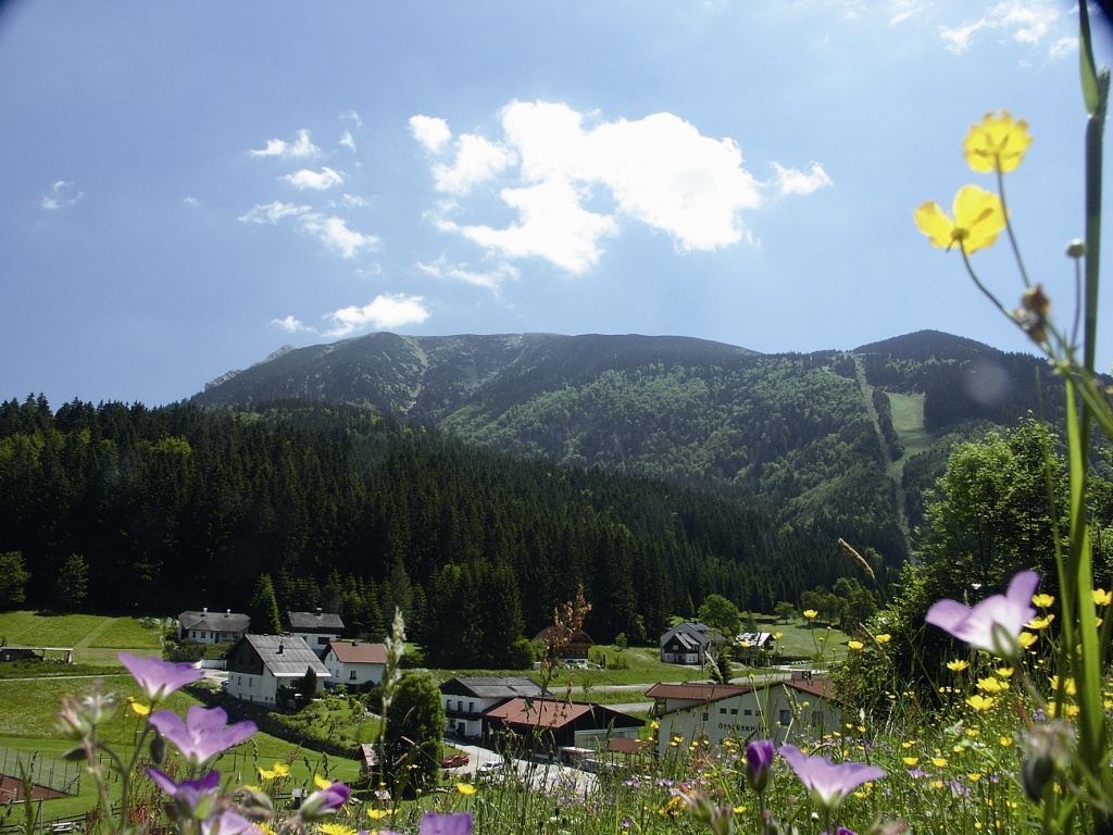
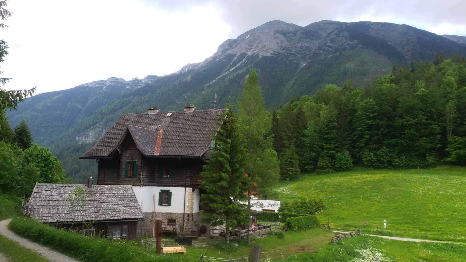
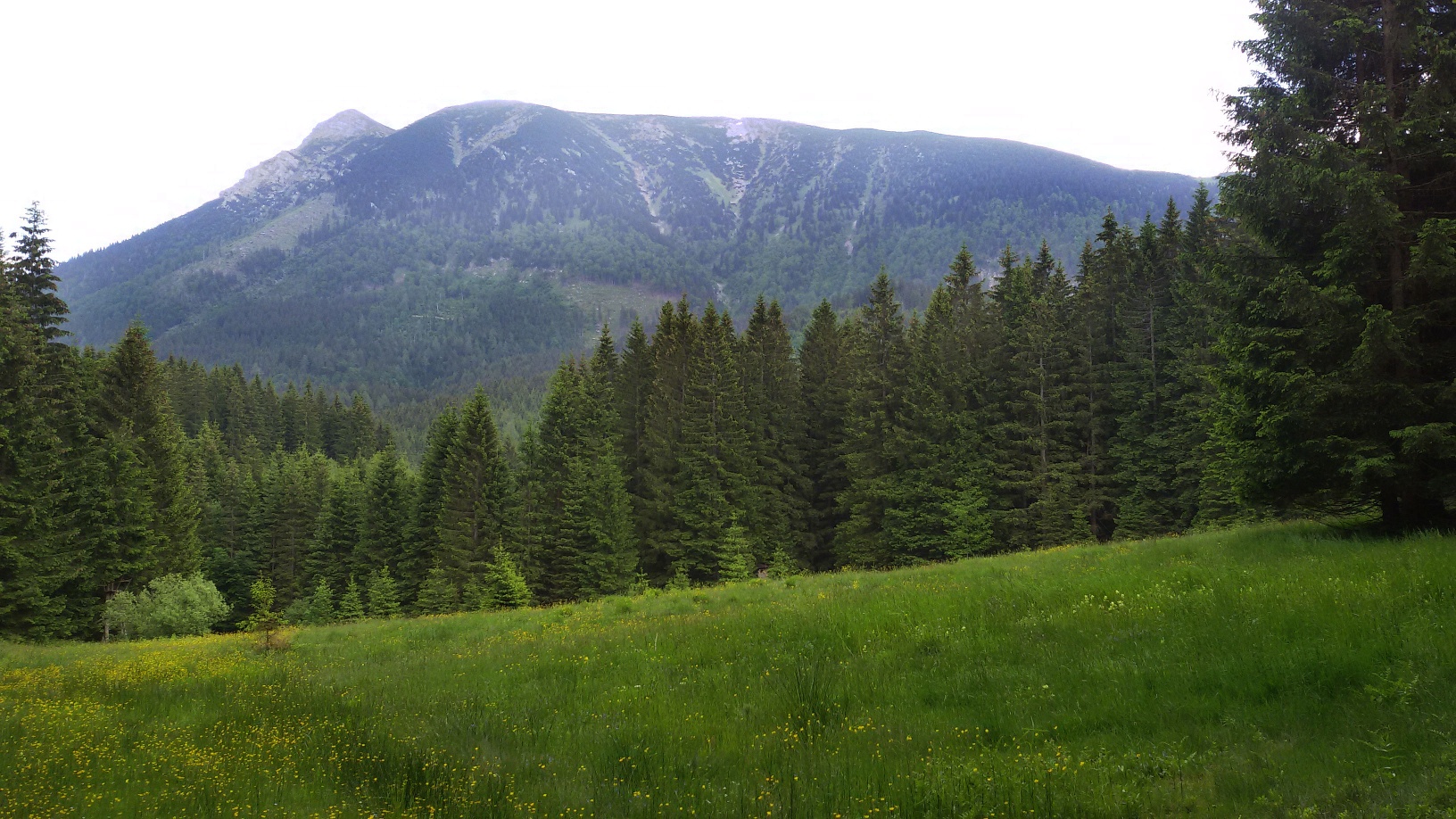
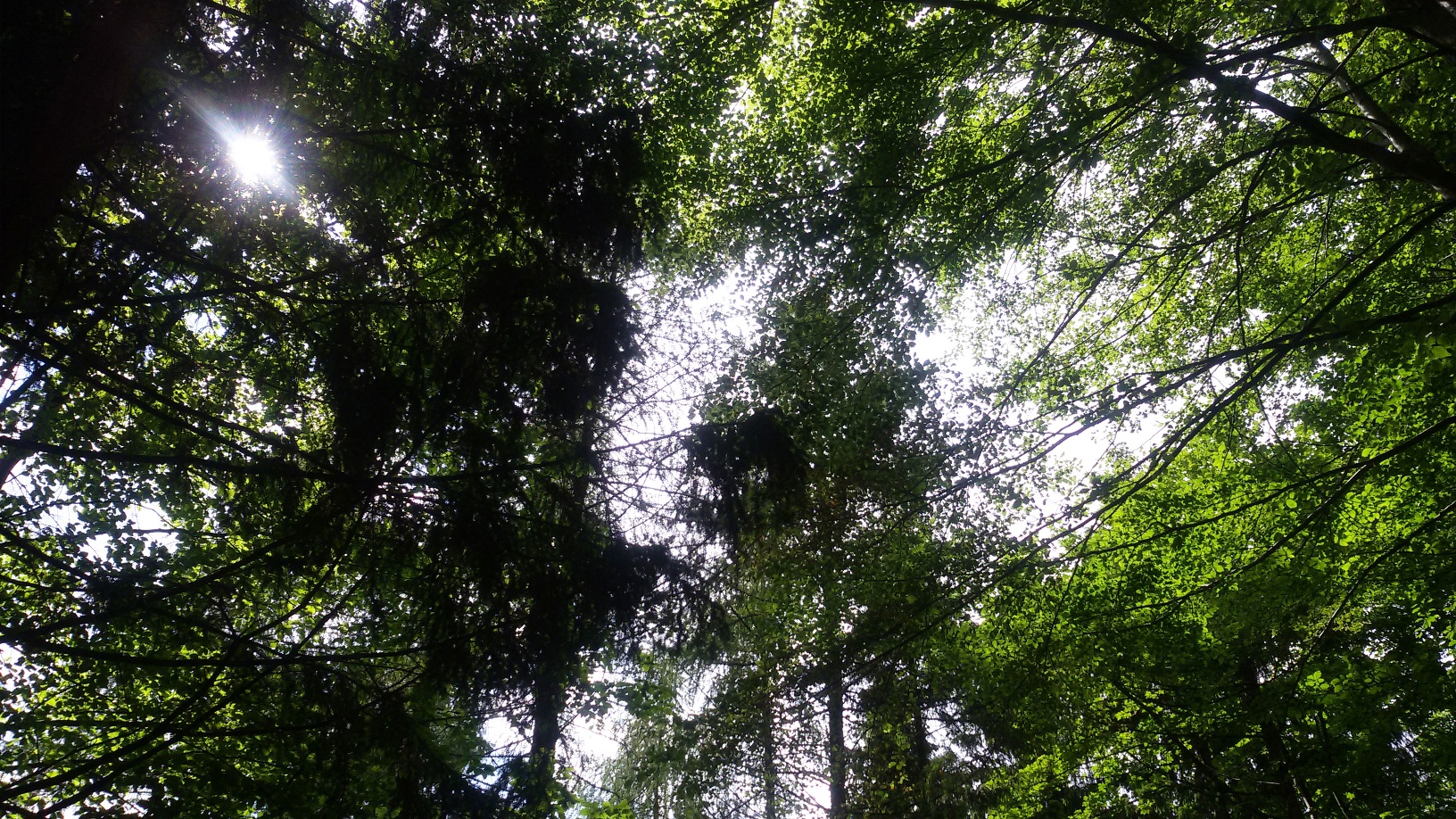
The Ötscher is a popular destination for hikers and for those who enjoy sweeping views. Immerse yourself in the lush green of the trees and the fresh, clear mountain air on this hiking route.
Fulfilling various criteria, such as family-friendly route guidance and paths that are as natural as possible, there are 3 "tut gut" hiking trails of varying duration and difficulty levels in Lackenhof in a loop system and the municipality of Gaming has been included in the list of partners of the "tut gut" hiking trails.
The route is mostly on forest, meadow and woodland paths. The recreational factor is enormous - silence and birdsong accompany the hiker for almost the entire route. All in all, a "Do good!" for body, mind and soul!
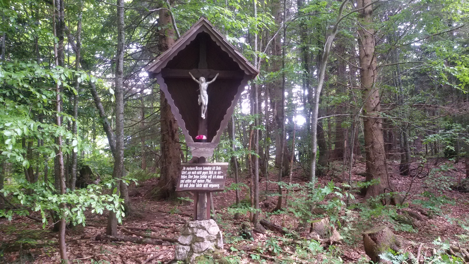
Through the forest to the Ötscher meadow – via Schönboden or the service road to Raneck – Steingrabenkreuz – Berglerweg – to the shrine of St. Leonhard – forest chapel – via Käferbichlstraße back to the starting point
Parking lot at the valley station Großer Ötscher
West Motorway A1 – exit Ybbs – Erlauftal federal road B25 to Grubberg – at junction turn onto B71 to Langau/Maierhöfen – left to Lackenhof – at village entrance turn left and follow the signs "Gr. Ötscher" and "3D Archery Course" to Weitental
Postbus or routes of the VOR companies. More information at www.vor.at, hotline 0800 222324
The playground at the entrance to the village makes little hikers beam with joy.
Leider können wir Ihnen zum jetzigen Zeitpunkt keine Wetterdaten für den Ort anzeigen.
Tourism IG Ybbstaler Alpen
Göstling 46/2
3345 Göstling an der Ybbs
43-5-93049
Letzte Änderung: 3 Aug 2026