Mountain bike tour Starting from Herzogenburg, St. Andräer Steg
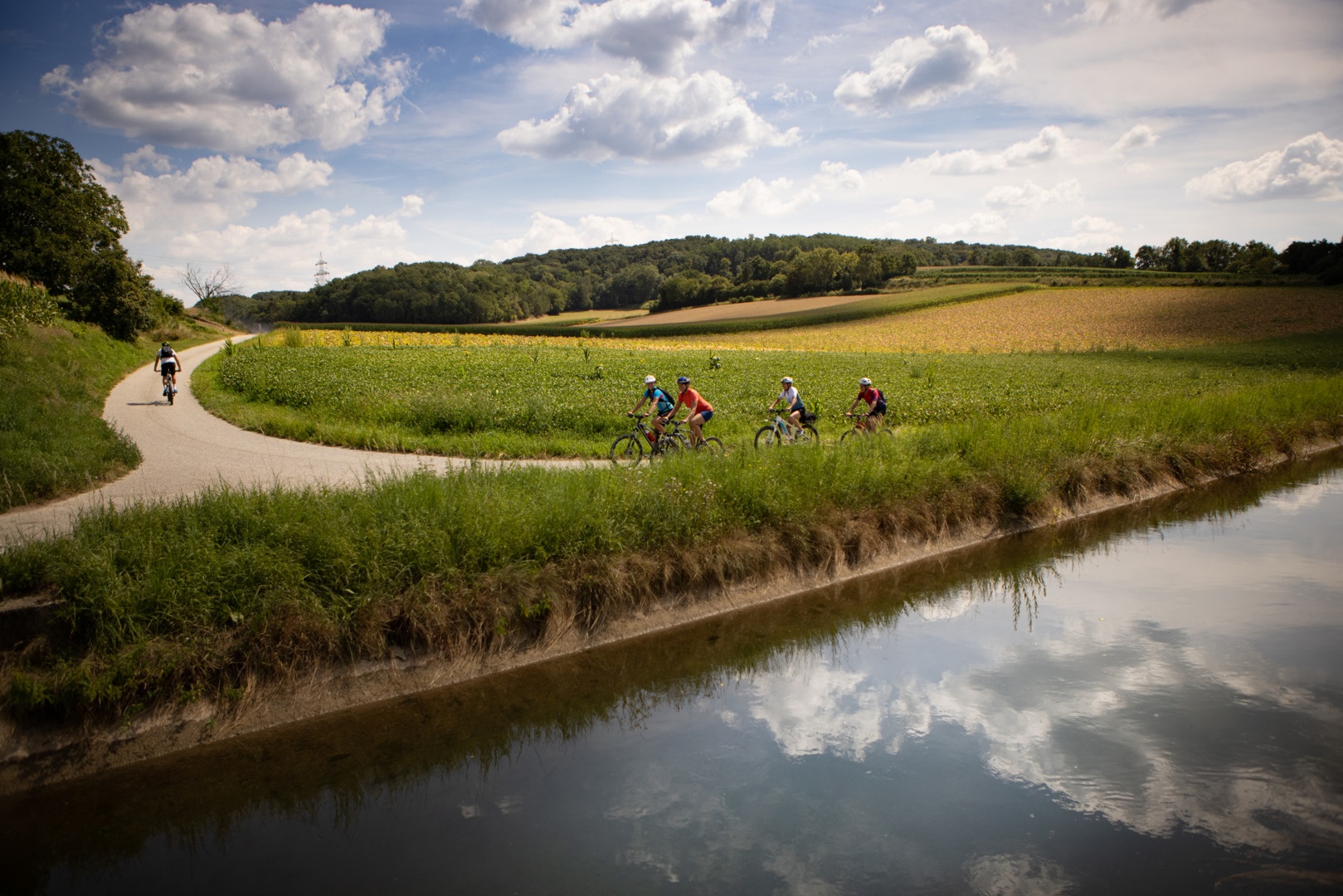
On the 20 km tour, you get to know the many facets of the Lower Traisental with its long cultural history.
On the 20 km tour, you get to know the many facets of the Lower Traisental with its long cultural history.
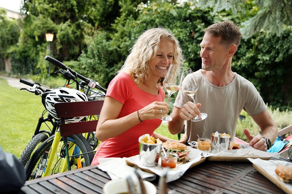
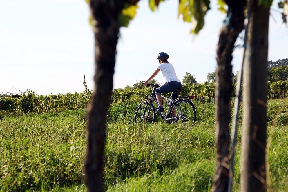
On this tour, you will get to know the many facets of the Traisental wine region with its long cultural history. Starting from Herzogenburg, the route takes you into the hilly landscape. Behind Walpersdorf Castle, the tour continues through fields, vineyards and past forests. The Theyerner Höhe and the Parapluiberg, the highest points of the route, are two wonderful vantage points, and you return to the village in anticipation of a refreshment stop and with the realization that the winegrowers in the Traisental wine region have been making the best wine with great dedication for centuries.
Please note the winter closure of this and all other MTB trails in Mostviertel from November 1 to April 14.
Thank you for your understanding!
Trekking or mountain bike, provisions, helmet!
via S33 and exit Herzogenburg Stadt
ÖBB regional trains from/to Herzogenburg station, about 1 km from there to the route.
If you are hungry and thirsty after the route, you can find the currently open Heurigen at www.traisental.at in the Heurigen calendar.
Wine Route & Tourism Traisental-Donau
Rathausplatz 2 3130 Herzogenburg
Phone: +43(0)2782/833 21
E-Mail: tourismus@traisental.at
Homepage: www.traisental.at
__________________________________
Mostviertel Tourism GmbH
Töpperschloss Neubruck
Neubruck 2/10
3270 Scheibbs
Phone: +43(0)7482/204 44
E-Mail: office@mostviertel.at
Web: www.mostviertel.at
Letzte Änderung: 3 Aug 2026