
gpx_addressbase_15922
Today, 11.02.2026
Light rain shower
Wind speed2,9 km/h

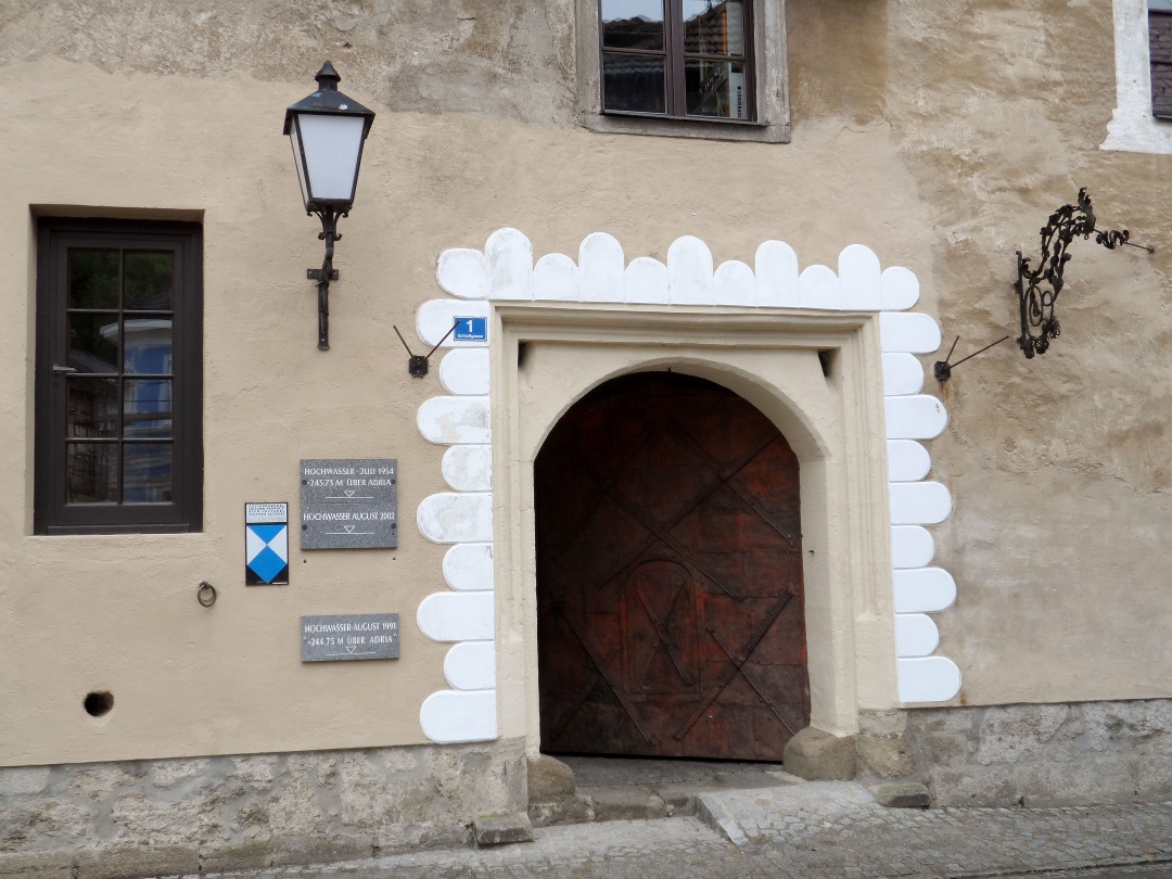
Hiking tour Starting from Mauthausen, town center
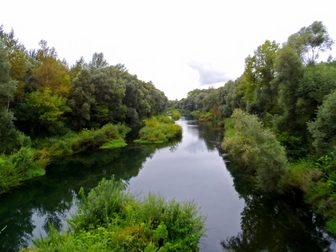
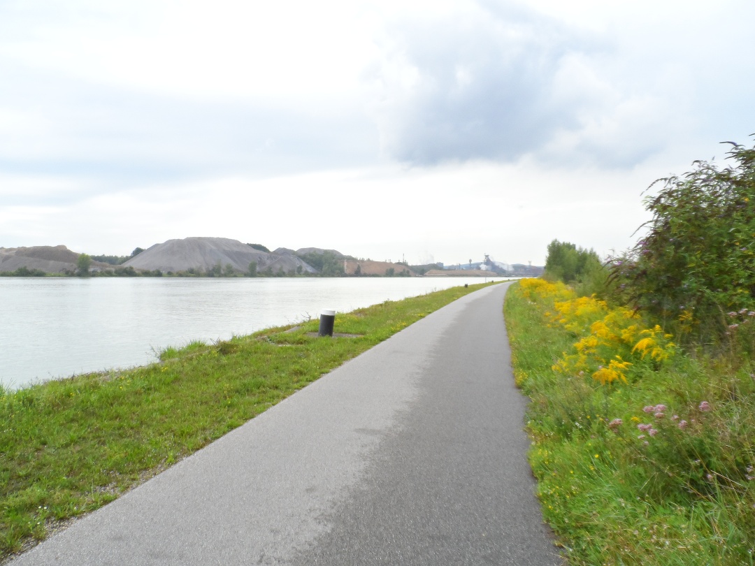
On the fourth stage of the Way of St. James, we face quite a "trek" of almost 30 kilometers, as the Upper Austrians would say. Nevertheless, the route, which largely follows the Danube Cycle Path, is also especially beautiful.
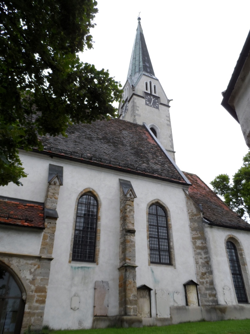
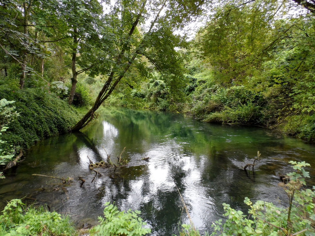
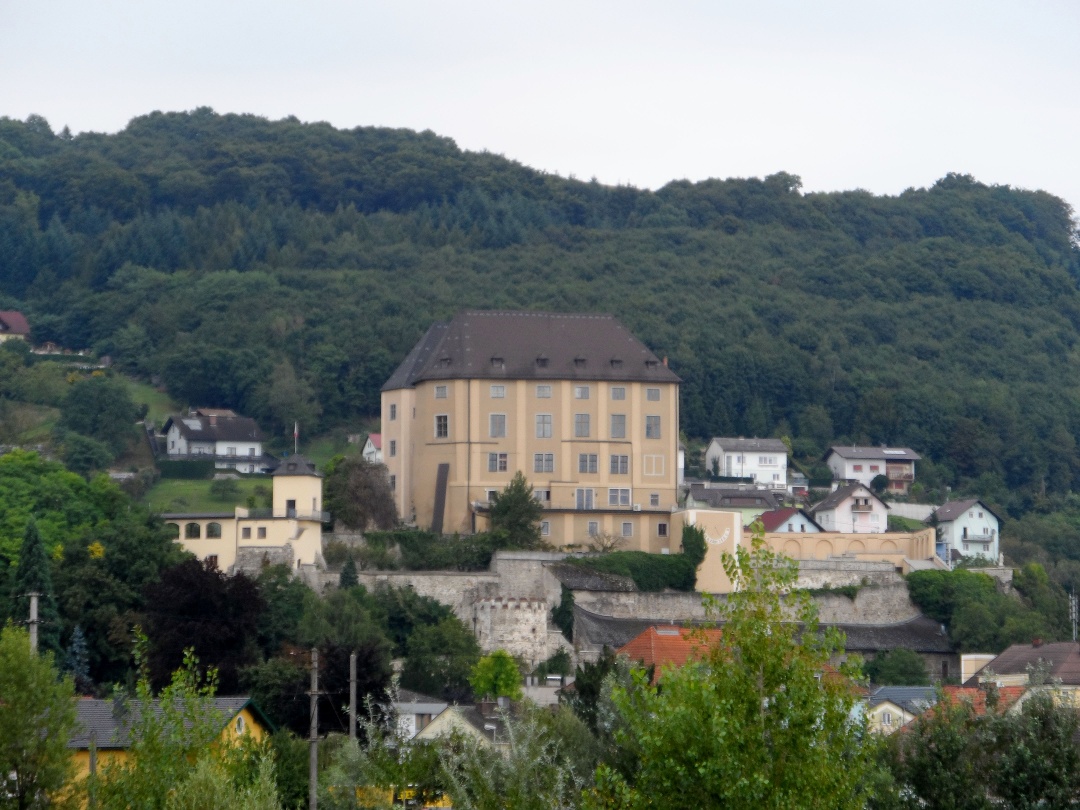
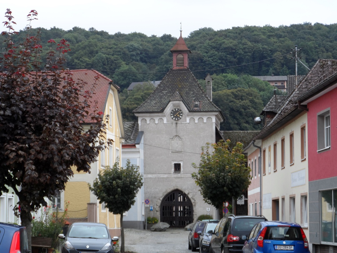
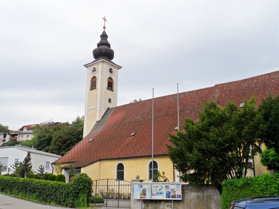
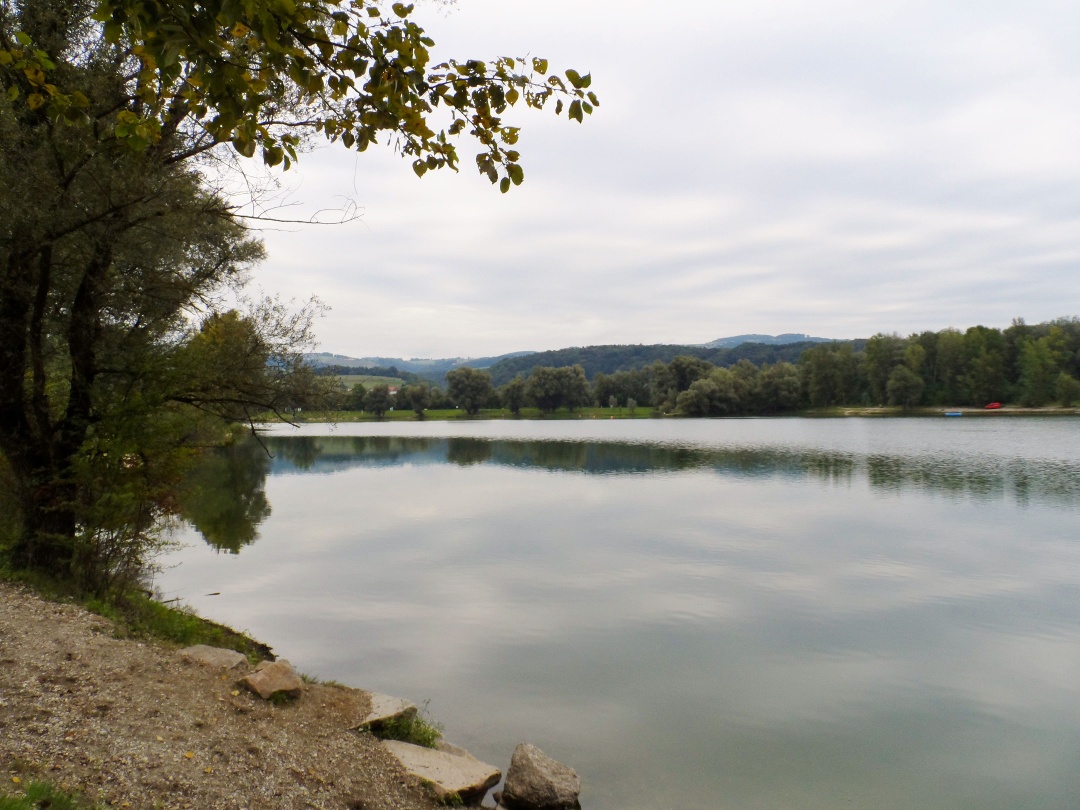
We start our fourth stage in the town center of Mauthausen and hike northwest to the Mauthausen Memorial. With a heavy heart, we descend the so-called "Death Staircase" (currently closed) at the former concentration camp down to the quarry and continue to St. Georgen an der Gusen (access to the quarry is unrestricted via the access road “Wiener Graben”). At Abwinden we reach the Danube Cycle Path, which we follow down to the Danube bank via a bridge. From now on, we stay on the Danube Cycle Path for the rest of the route or, for those especially fit, can make a detour to the medieval town of Steyregg. The castle Steyregg, perched on a distinctive rock here, was probably built as early as 1150, and the town or Seiler Gate also dates from the Middle Ages. The baroque parish church of St. Stephen lies west of the medieval town center. Continuing along the Danube, you pass the Pleschinger Lake and can even already see the destination of the fourth stage – the pilgrimage church on Pöstlingberg.

Light rain shower
Wind speed2,9 km/h
Light rain shower
Wind speed2,6 km/h
Mostviertel Tourismus GmbH
Töpperschloss Neubruck, Neubruck 2/10, 3283 Scheibbs
T +43/7482/20 444
info@mostviertel.at , www.mostviertel.at
Upper Austria Tourism Information
Freistädter Straße 119, 4041 Linz
info@oberoesterreich.at
www.wandern.at
Useful maps:
ÖK 4322 Pöchlarn, ÖK 4327 Amstetten, ÖK 4328 Scheibbs,
ÖK 4203 Waidhofen, ÖK 4204 Lunz
All at scale 1:50,000 (also available enlarged 1:25,000)
F&B hiking maps 052 Mostviertel (1:50,000),
Kompass hiking guide 1085 Way of St. James
Important phone numbers:
Alpine emergency: 140, International emergency: 112
Recommended literature:
Hiking guide Way of St. James Austria, www.kompass.at
On the Way of St. James through Austria, www.tyrolia-verlag.at
Pilgrimage routes, www.kral-verlag.at
Pilgrimage routes to Mariazell – West + South volume, www.styriabooks.at