Use our AI guideDo you have any questions about your stay?
- Distance: 191,65 km
- Duration: 1:30 h
- Ascent: 900 m elevation gain
- Descent: 809 m elevation gain
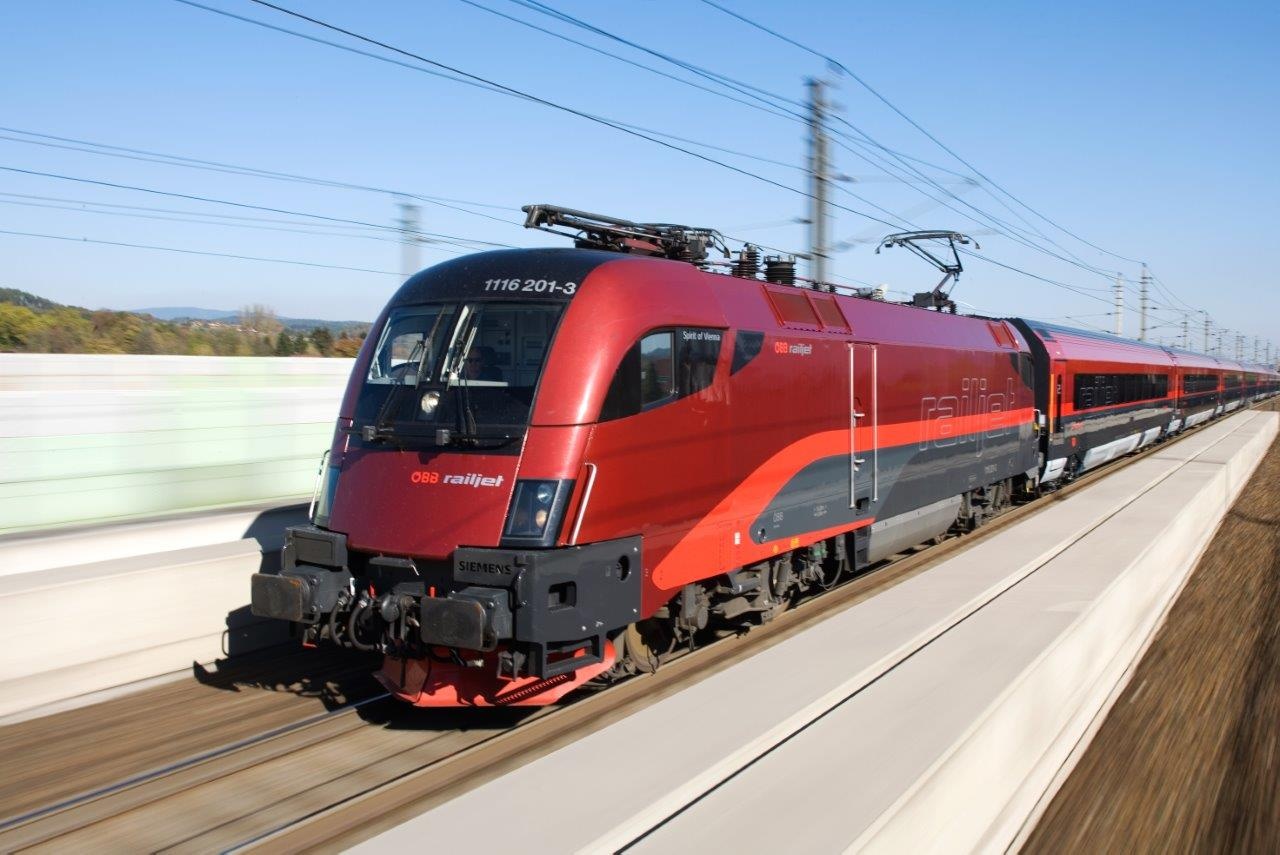
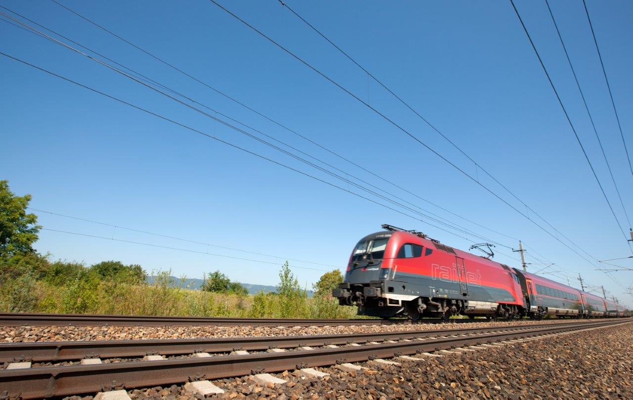
The fastest public rail connection from Vienna and Linz to the Lower Austrian capital of St. Pölten and the Mostviertel region.
- Starting point of the tour
- Vienna
- Tour destination
- Linz
- Distance: 191,65 km
- Duration: 1:30 h
- Ascent: 900 m elevation gain
- Descent: 809 m elevation gain
- Lowest point
- 174 m
- Highest point
- 460 m
The fastest public rail connection from Vienna and Linz to the Lower Austrian capital of St. Pölten and the Mostviertel region.
- safety instructions
You may board local transit only with a valid ticket, except at stations where tickets cannot be purchased.
- Route description
Stops along the route:
- Vienna Central Station
- Vienna Meidling
- Tullnerfeld
- St. Pölten Central Station
- Prinzersdorf
- Markersdorf on the Pielach
- Groß Sierning
- Loosdorf
- Melk
- Pöchlarn
- Krummnussbaum
- Säusenstein
- Ybbs on the Danube
- Neumarkt on the Ybbs – Karlsbach
- Blindenmarkt
- Amstetten
- Mauer-Öhling
- Aschbach
- Krenstetten-Biberbach
- St. Peter-Seitenstetten
- St. Johann-Weistrach
- City of Haag
- St. Valentin
- Ennsdorf
- Enns
- Asten-Fisching
- Linz-Pichling
- Linz Ebelsberg
- Linz Central Station
- Parking
Parking is available at the train stations.
- Editor’s tip
Please check the schedules—some stations are served exclusively by regional trains (R, REX, S-Bahn).
Leider können wir Ihnen zum jetzigen Zeitpunkt keine Wetterdaten für den Ort anzeigen.
Schedules: www.vor.at
Letzte Änderung: 3 Aug 2026